Hiking · Gunnison, CO
Lower Jack's
Before you go
Live · nearest station Gunnison, 2 miGood window today. Daylight to 6:23 pm.
Thunderstorms
Feels like 53°
Storm chance
25% tonight
Wind
5 mph SSW
UV index
0 low
Sun window
7:20 am to 6:23 pm
Distance
0.4mi round trip
Elevation gain
—
High point
7,825ft
Season
Jan - Dec
About
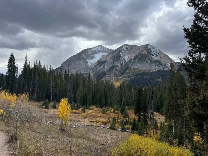
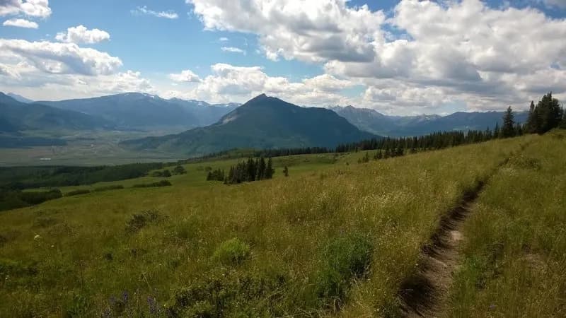
Lower Jack's is a 0.4-mile hiking trail in Gunnison, Colorado, situated at an elevation of approximately 7,825 feet. The trail features a gentle grade with an elevation range from 7,694 to 7,837 feet. It begins at a lower parking area and connects to the Main Jack's Trail. The surface is dirt or ground, which may be muddy after rain, and sturdy footwear is recommended. The trail allows hiking, biking, and dogs, but is closed to horses, motorcycles, ATVs, and high-clearance vehicles. Parking is available at the trailhead. The route is classified as easy or beginner, with a typical duration of about 12 minutes. It remains open year-round.
Trail profile
Gain
—
Avg grade
—
Steepest
—
High point
7,825 ft
Good to know
Parking at the trailhead
Waypoints
Latest trail reportgood
Trail is in good condition. No significant obstacles or hazards reported.
Reported Mar 2, 2025Verified
What people say
Reviews
No reviews yet
Been here? Help the next person out.
Within 30 miles