Hiking · Durango, CO
Lower Loop
Before you go
Live · nearest station Durango, 0 miGood window today. Daylight to 6:28 pm.
Thunderstorms
Feels like 53°
Storm chance
37% tonight
Wind
0 mph
UV index
0 low
Sun window
7:23 am to 6:28 pm
Animas River at Durango is running 1,180 cfs and falling, water 49°.
Distance
0.62mi round trip
Elevation gain
2ft
High point
6,534ft
Season
Jan - Dec
About
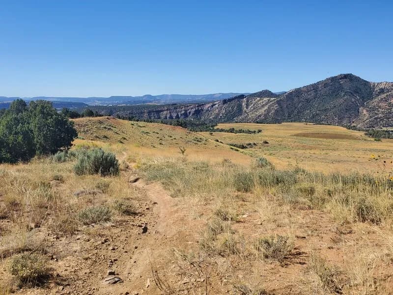
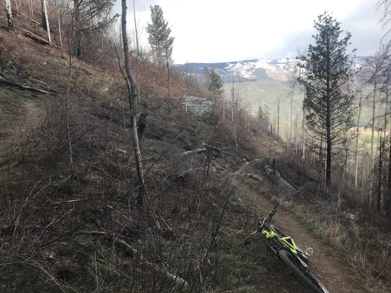
The Lower Loop is a short, 0.62-mile hiking trail located in Durango, Colorado. Managed by the City of Durango, the trail connects the Upper Twin Buttes and Upper Ed & Flo trails. It is a multi-use route allowing hiking, biking, and dogs (leashed), with parking available at the trailhead. The trail sits at an elevation of approximately 6,534 feet and covers a distance of 3,366 feet. The route is rated moderate difficulty with a total elevation gain of 85 feet. The trail allows for bidirectional travel and is accessible year-round, though conditions vary with seasonal snow and ice. It is suitable for a brief hike lasting approximately 21 minutes.
Trail profile
Gain
2 ft
Avg grade
0%
Steepest
—
High point
6,534 ft
Good to know
Parking at the trailhead
Waypoints
Latest trail reportgood
Trail is in good condition. No significant obstacles or hazards reported.
Reported Mar 2, 2025Verified
What people say
Reviews
No reviews yet
Been here? Help the next person out.
Within 30 miles