Hiking · Ridgway, CO
Marmot Run Spur
Before you go
Live · nearest station Telluride, 15 miGood window today.
Chance of Rain
Feels like 55°
Trailhead temp
60° est. at 7,354 ft
Storm chance
38% afternoon
Wind
5 mph SW
Distance
—
Elevation gain
—
High point
7,354ft
Season
Jan - Dec
About
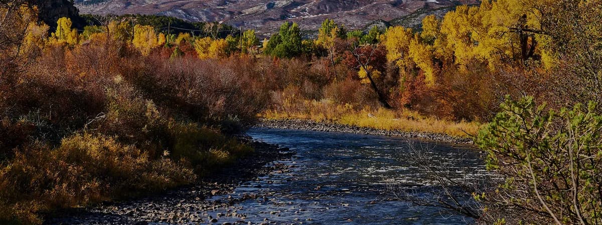
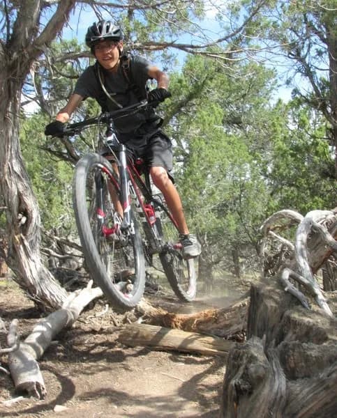
Marmot Run Spur is an easy, 1.8-mile hiking trail located in Ridgway State Park near Ridgway, Colorado. The trail follows the east shore of the Uncompahgre River and the Ridgway Reservoir, starting in the Dallas Creek Day Use area. It connects the south end of the state park to the town of Ridgway, covering a distance of approximately four miles with an elevation range between 6,860 and 6,919 feet. The route is universally accessible and allows leashed dogs and bicycles. Marmots are common at the southern end, giving the trail its name. Facilities along the way include picnic sites and restrooms. Parking is available at the trailhead, and the trail remains open year-round.
Trail profile
Gain
—
Avg grade
—
Steepest
—
High point
7,354 ft
Good to know
Parking at the trailhead
Waypoints
Latest trail reportgood
Spring conditions with some muddy sections. Trail is generally in good shape.
Reported Mar 2, 2025Verified
What people say
Reviews
No reviews yet
Been here? Help the next person out.
Within 30 miles