Fall Hiking · Cedaredge, CO
Mesa Top Trailhead
Before you go
Live · nearest station Delta County, 22 miGood window today.
Cloudy
Feels like 63°
Trailhead temp
43° est. at 10,723 ft
Storm chance
17% tonight
Wind
5 mph ESE
Distance
—
Elevation gain
—
High point
10,723ft
Season
Sep - Novin season
About
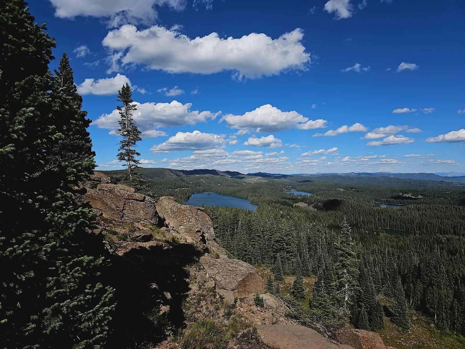
Mesa Top Trail #714 is a 7.3-mile singletrack route in Grand Mesa National Forest, accessed from Highway 65 near Cedaredge. The trail begins at an elevation of 10,780 feet and descends gradually to approximately 10,080 feet at Flowing Park. This moderate difficulty profile suits hikers seeking manageable elevation change on a surface of dirt, rocks, and roots. The route connects to Indian Point Trail #715 and is open to hiking, biking, and horses. Fall access runs from September through November, offering views of Island Lake, Cedaredge, and Delta. Amenities include plentiful parking and restrooms at the trailhead. No water sources are available along the path.
Trail profile
Gain
—
Avg grade
—
Steepest
—
High point
10,723 ft
Good to know
Parking at the trailhead
Restrooms available
Dogs allowed on leash
Waypoints
No waypoints mapped for this trail yet.
What people say
Reviews
No reviews yet
Been here? Help the next person out.
Within 30 miles