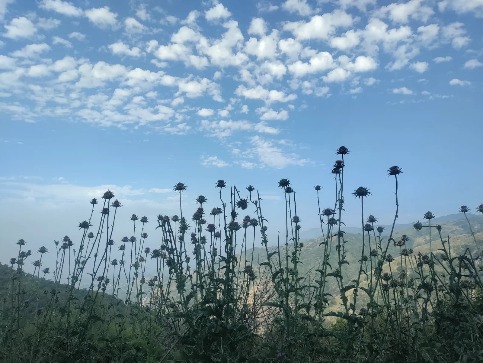
Hiking · Durango, CO
Missionary Ridge
Before you go
Live · nearest station Durango, 3 miStorms build later today. Plan an early finish.
Thunderstorms
Feels like 59°
Storm chance
57% tonight
Wind
5 mph NE
Animas River at Durango is running 825 cfs and rising, water 55°.
Distance
7.02mi round trip
Elevation gain
826ft
High point
7,293ft
Season
Jan - Dec
About
Missionary Ridge is a difficult hiking trail system located in the San Juan National Forest, approximately 10 miles from Durango, Colorado. The network offers commanding views of the Animas River Valley and surrounding peaks including the La Plata range and San Juan Mountains. The primary Missionary Ridge Trail is a 9-mile route with an elevation gain of roughly 2,600 to 3,092 feet depending on the specific start and end points. It is generally considered a challenging route suitable for hikers with moderate to high fitness levels, taking an average of 5 to 8 hours to complete. The trail network is multi-use, allowing hiking and mountain biking, with several distinct trails ranging from intermediate to advanced difficulty. Spring brings purple larkspur, dandelions, lupine, and wood's rose to the aspen corridors. The area supports dispersed camping along Missionary Ridge Road, though amenities are limited and RVs are not recommended. Wildlife sightings include elk and mule deer. The best visiting times are March through October for spring wildflowers and fall colors, with winter activities like snowshoeing available on less steep sections. Parking is available at multiple trailheads, including the Haflin Creek Trailhead and southern access via Silver Mesa Drive.
Trail profile
Gain
826 ft
Avg grade
2%
Steepest
4%
High point
7,293 ft
Good to know
Parking at the trailhead
Waypoints
Latest trail reportgood
Trail is in good condition. No significant obstacles or hazards reported.
Reported Mar 2, 2025Verified
What people say
Reviews
No reviews yet
Been here? Help the next person out.
Within 30 miles