Fall Hiking · Silverton, CO
Molas Trail
Before you go
Live · nearest station Telluride, 15 miStorms build later today. Plan an early finish.
Chance of Rain
Feels like 45°
Trailhead temp
41° est. at 10,607 ft
Storm chance
58% tonight
Wind
5 mph ESE
Distance
—
Elevation gain
—
High point
10,607ft
Season
Sep - Novin season
About
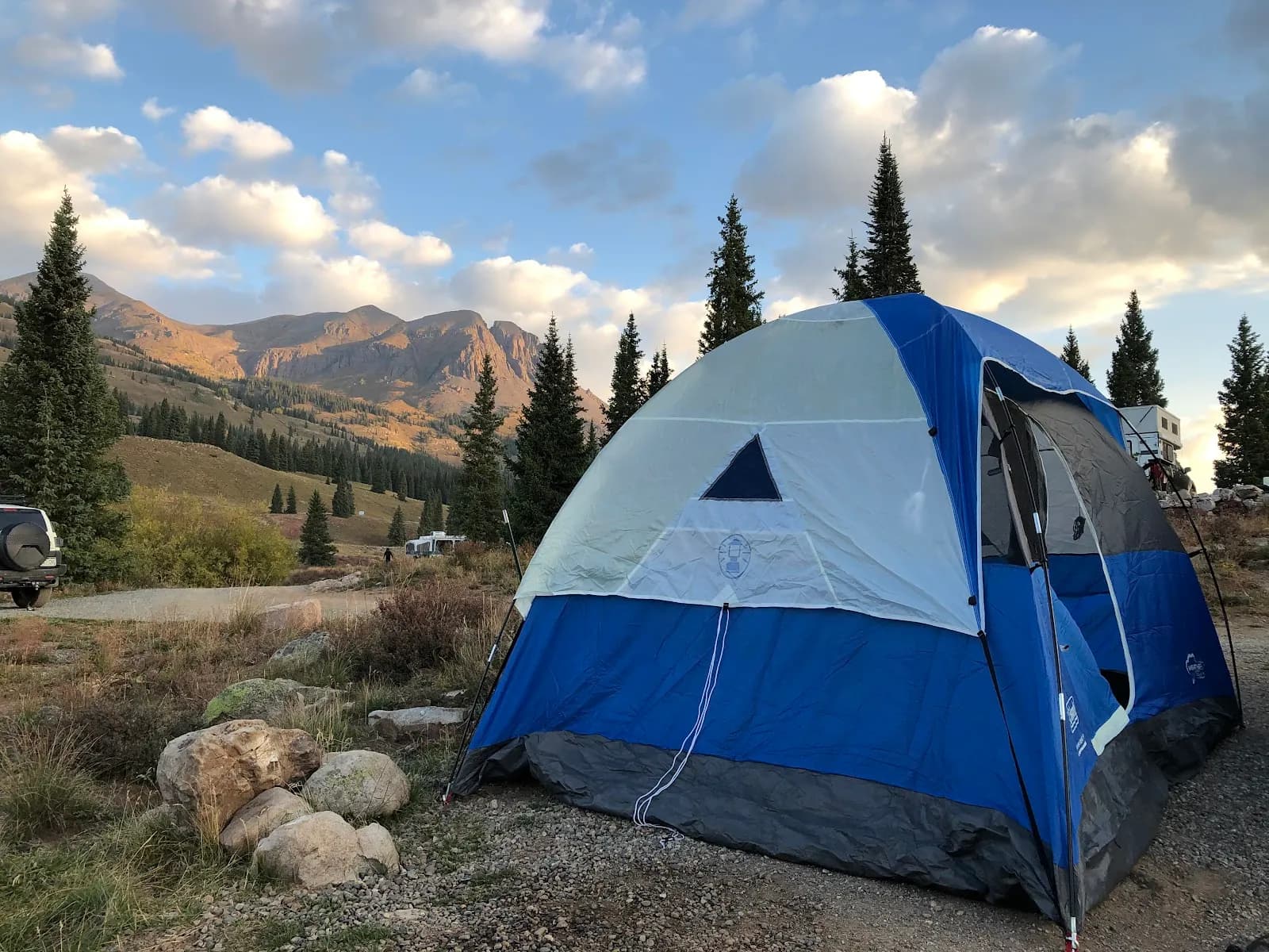
The Molas Trail is a moderate, 3.7-mile one-way route located near Silverton, Colorado, serving as a segment of the Colorado Trail. The trailhead sits at an elevation of 10,607 feet and descends into the Animas River valley. Hikers typically complete the route in approximately two hours, though the return trip requires climbing back up 1,500 feet. The path begins with a gentle descent through meadows alongside Elk Creek before dropping sharply toward the river bridge. The trail connects with Elk Creek Trail #503 within the Weminuche Wilderness and offers views of the Grenadiers and Needles peaks. Fall hiking is viable from September through November, with dry conditions prevailing despite potential early snowfall. Parking is available at the trailhead, and pets are permitted. The trail is accessible via U.S. Highway 550, with a turn east into the parking lot just south of Silverton.
Trail profile
Gain
—
Avg grade
—
Steepest
—
High point
10,607 ft
Good to know
Parking at the trailhead
Restrooms available
Dogs allowed on leash
Waypoints
No waypoints mapped for this trail yet.
What people say
Reviews
No reviews yet
Been here? Help the next person out.
Within 30 miles