Hiking · Gunnison, CO
Mt. Emmons Trail
Before you go
Live · nearest station Gunnison, 3 miGood window today. Daylight to 5:01 pm.
Clear
Feels like 22°
Wind
0 mph
UV index
0 low
Sun window
6:41 am to 5:01 pm
Distance
0.5mi round trip
Elevation gain
—
High point
7,815ft
Season
Jan - Dec
About
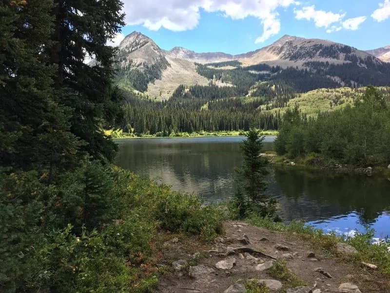
The Mt. Emmons Trail is a short, difficult hike located near Gunnison and Crested Butte, Colorado, in Gunnison National Forest. It is a primitive trail leading to the summit of Mt. Emmons, also known as Red Lady. The trail offers views of the surrounding range and the town of Crested Butte. Evidence indicates the trail is approximately 0.5 miles long with an elevation gain of roughly 2,629 feet to reach the summit at 12,375 feet. The route is considered difficult due to steep, rocky terrain and high altitude. Parking is available at the trailhead. The trail is accessible year-round, though winter conditions may require additional gear. The best time to visit is typically July through September. The trail is suitable for hiking and trail running.
Trail profile
Gain
—
Avg grade
—
Steepest
—
High point
7,815 ft
Good to know
Parking at the trailhead
Waypoints
Latest trail reportgood
Trail is in good condition. No significant obstacles or hazards reported.
Reported Mar 2, 2025Verified
What people say
Reviews
No reviews yet
Been here? Help the next person out.
Within 30 miles