Hiking · Durango, CO
Ned's Ridge
Before you go
Live · nearest station Durango, 0 miGood window today. Daylight to 6:28 pm.
Thunderstorms
Feels like 55°
Storm chance
37% tonight
Wind
0 mph
UV index
0 low
Sun window
7:23 am to 6:28 pm
Animas River at Durango is running 1,180 cfs and falling, water 49°.
Distance
0.12mi round trip
Elevation gain
—
High point
6,534ft
Season
Jan - Dec
About
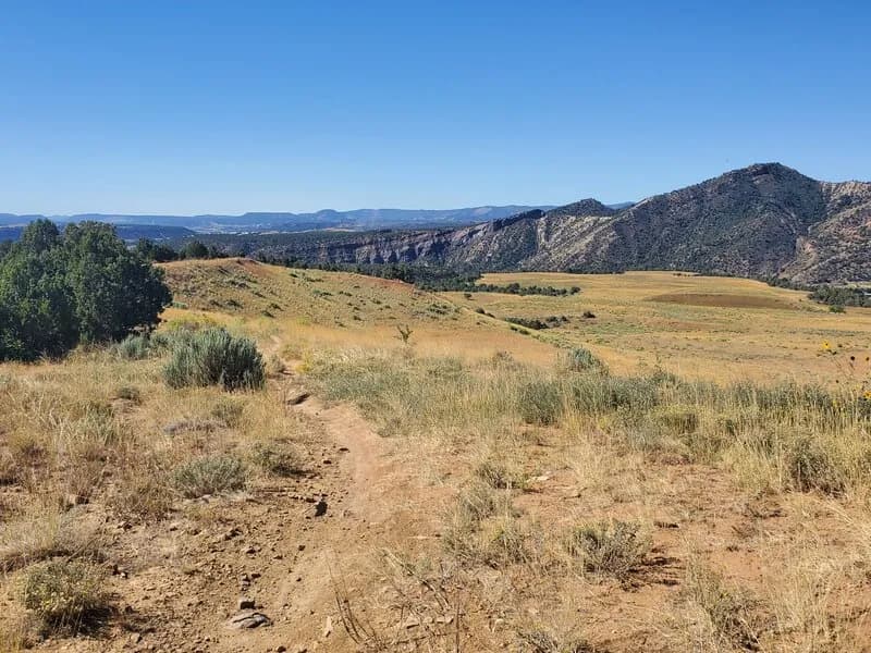
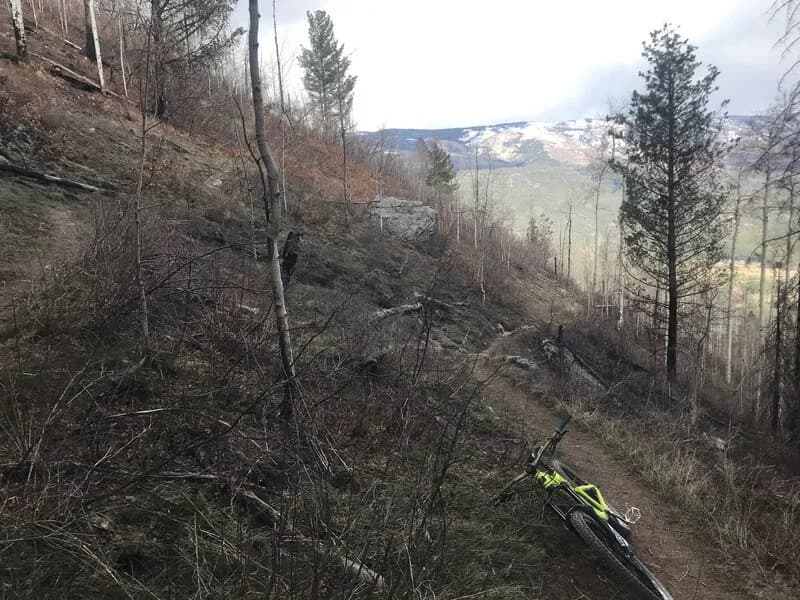
Ned's Ridge is a short, moderate hiking trail located in Durango, Colorado, within the Overend Mountain Park Trail System. The route spans 0.12 miles with an elevation of 6,534 feet and is rated as moderate difficulty. It functions primarily as a traverse connecting Ned's Hill to the steep descent of East Grabens. The trail is accessible year-round and offers parking for visitors. While popular with mountain bikers, it serves hikers and trail runners as well. The terrain can be muddy after rain, requiring proper footwear.
Trail profile
Gain
—
Avg grade
—
Steepest
—
High point
6,534 ft
Good to know
Parking at the trailhead
Waypoints
Latest trail reportgood
Trail is in good condition. No significant obstacles or hazards reported.
Reported Mar 2, 2025Verified
What people say
Reviews
No reviews yet
Been here? Help the next person out.
Within 30 miles