Rock Climbing · Montrose, CO
Pacing
Before you go
Live · nearest station Montrose, 3 miGood window today. Daylight to 5:05 pm.
Clear
Feels like 29°
Wind
5 mph SSE
UV index
0 low
Sun window
6:44 am to 5:05 pm
Distance
—
Elevation gain
132ft
High point
5,720ft
Season
Jan - Dec
About
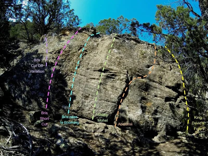
Pacing is a rock climbing area located near Montrose, Colorado, on the Western Slope. Situated at an elevation of 5,588 feet, it offers moderate difficulty routes suitable for climbers with some experience. The site is accessible year-round and features on-site parking. It allows pets, making it a pet-friendly option for outdoor enthusiasts. The climbing area is part of the broader Montrose County region, which includes nearby Black Canyon of the Gunnison National Park. The Western Colorado Climbers' Coalition helps maintain access and stewardship in this area, ensuring that bolts and anchors are monitored. Climbers can expect to spend approximately 4 hours exploring the routes.
Trail profile
Gain
132 ft
Avg grade
—
Steepest
—
High point
5,720 ft
Good to know
Parking at the trailhead
Dogs allowed on leash
Waypoints
Latest trail reportgood
Spring climbing conditions. Route may be wet after rainfall. Check weather forecast before climbing.
Reported Mar 3, 2025Verified
What people say
Reviews
No reviews yet
Been here? Help the next person out.
Within 30 miles