Mountain Biking · Palisade, CO
Palisade Plunge: Complete Ride
Before you go
Live · nearest station Grand Junction, 11 miGood window today. Daylight to 7:06 pm.
Thunderstorms
Feels like 66°
Storm chance
31% tonight
Wind
15 mph SSE
UV index
0 low
Sun window
7:03 am to 7:06 pm
Colorado River near Cameo is running 1,360 cfs and falling, water 65°.
Distance
32mi round trip
Elevation gain
5,709ft
High point
10,457ft
Season
Apr - Octpeak now
About
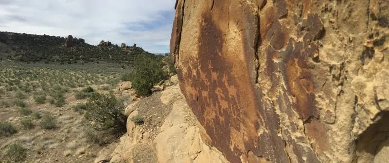
The Palisade Plunge: Complete Ride is a 32-mile point-to-point mountain biking route in Palisade, Colorado. It descends from the Grand Mesa to the Colorado River with approximately 6,000 feet of vertical drop and 1,700 feet of climbing. The trail is classified as difficult and requires a full day, typically taking between 3 and 12 hours depending on rider speed. The route runs from April through October, with seasonal closures often occurring from December 1 to May 1. Riders begin at the Mesa Top Trailhead or Shirttail Point Trailhead, both of which offer parking and vault toilets but no running water. The trail traverses diverse terrain, starting with flat, open-range singletrack across the mesa where cattle graze. It transitions into steep, rooty sections and ends with desert-style slickrock and exposed side-cutting near Palisade. Warning signs mark difficult sections that require scouting, particularly in the lower desert stretch. The trail is pet-friendly with dogs allowed on leashes and permits equestrian use for the first 18 miles. Riders should carry ample water, especially in summer when temperatures reach the high 90s. The route is well-marked and remote, requiring self-sufficiency for tools, food, and clothing.
Trail profile
Gain
5,709 ft
Avg grade
3%
Steepest
11%
High point
10,457 ft
Good to know
Parking at the trailhead
Dogs allowed on leash
Waypoints
Latest trail reportgood
Trail is in good condition. Traction is good with minimal obstacles.
Reported Mar 2, 2025Verified
What people say
Reviews
No reviews yet
Been here? Help the next person out.
Within 30 miles