Mountain Biking · Palisade, CO
Palisade Rim
Before you go
Live · nearest station Grand Junction, 11 miGood window today.
Mostly Cloudy
Feels like 63°
Storm chance
8% afternoon
Wind
5 mph N
Colorado River near Cameo is running 1,480 cfs, water 54°.
Distance
8.7mi round trip
Elevation gain
1,598ft
High point
6,358ft
Season
Apr - Octin season
About
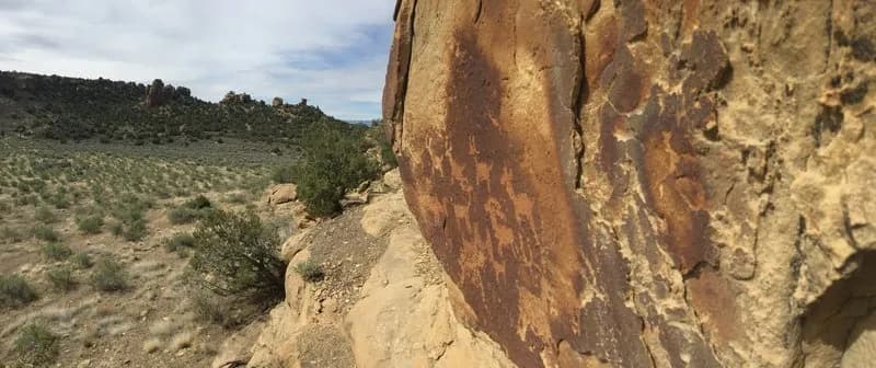
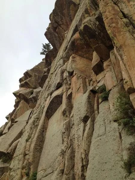
Palisade Rim is a technical singletrack mountain biking trail located in Palisade, Colorado, offering exposure comparable to Moab’s Porcupine Rim but with less traffic. The route spans approximately 8.7 miles with an elevation gain of roughly 1,500 feet, typically completed in about three hours. The trail features rocky terrain, switchbacks, berms, and varied surfaces including shale and dirt. Riders navigate a lower loop and a more challenging upper loop connected by a 0.8-mile connector trail. Key features include petroglyphs visible on the sandstone, moderate elevation gains, and significant cliff exposure, particularly on the descent of the upper loop’s west side. The trailhead is situated near the river launch site, just north of a large gate next to an irrigation ditch. Parking is available at the trailhead. The trail is accessible from April through October. Bring plenty of water, as hydration is critical. Avoid the upper loop after rain due to slick conditions. Watch for shear cliffs and hikers during the final 800-foot descent back to the parking area. Pets are allowed on the trail.
Trail profile
Gain
1,598 ft
Avg grade
3%
Steepest
14%
High point
6,358 ft
Good to know
Parking at the trailhead
Dogs allowed on leash
Waypoints
Latest trail reportgood
Trail is in good condition. Traction is good with minimal obstacles.
Reported Mar 2, 2025Verified
What people say
Reviews
No reviews yet
Been here? Help the next person out.
Within 30 miles