Mountain Biking · Silverton, CO
Pass Creek to Engineer Mountain Trail
Before you go
Live · nearest station Telluride, 12 miGood window today.
Chance of Rain
Feels like 41°
Storm chance
48% overnight
Wind
0 mph
Distance
—
Elevation gain
—
High point
9,311ft
Season
Apr - Octpeak now
About
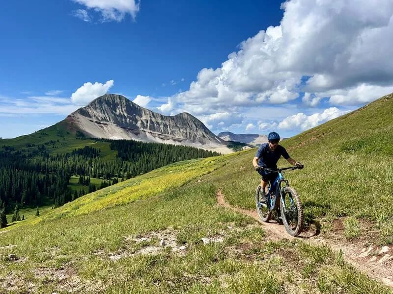
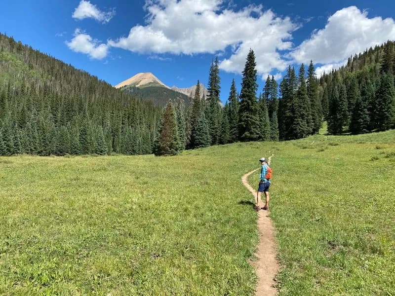
The Pass Creek to Engineer Mountain Trail is a popular, point-to-point mountain biking route in the San Juan National Forest near Silverton, Colorado. The ride typically begins at the Pass Creek Trailhead on Coal Bank Pass (elevation approx. 10,600 ft) and descends to the Engineer Mountain Guard Station or Highway 550. The route is characterized by a steep, technical descent featuring switchbacks, roots, and loose dirt, with only a few minor rock gardens. Riders generally shuttle their vehicles to the top at Coal Bank Pass or approach from the bottom for an out-and-back option. The trail traverses spruce-fir forests, aspen groves, and sub-alpine meadows, offering views of the lower valley and the Needle and Grenadier mountain ranges. It is accessible from late spring through October, though conditions vary with altitude. Parking is available at the Coal Bank Pass trailhead.
Trail profile
Gain
—
Avg grade
—
Steepest
—
High point
9,311 ft
Good to know
Parking at the trailhead
Dogs allowed on leash
Waypoints
Latest trail reportgood
Trail is in good condition. Traction is good with minimal obstacles.
Reported Mar 3, 2025Verified
What people say
Reviews
No reviews yet
Been here? Help the next person out.
Within 30 miles