Hiking · Silverton, CO
Pole Creek Trail
Before you go
Live · nearest station Telluride, 12 miStorms build later today. Plan an early finish.
Thunderstorms
Feels like 40°
Storm chance
54% overnight
Wind
0 mph
Distance
7.1mi round trip
Elevation gain
3,146ft
High point
12,342ft
Season
Jan - Dec
About
Pole Creek Trail is a hiking route near Silverton, Colorado, in Hinsdale County. The trail is approximately 7.1 miles long with an elevation gain of 4,110 feet, reaching an elevation of 9,469 feet. It is rated as difficult, though some sources describe it as easy or moderate depending on the specific segment and surface conditions. The trailhead is accessible via Forest Road 820 (FR 820) or Forest Road 520, with parking available. The surface is primarily ground, which can be muddy after rain. Hikers should expect narrow, steep, and rocky terrain with slick roots. The trail is open year-round, but winter conditions may require additional preparation for snow and ice. Typical duration is about 5 hours. The trail offers views of small waterfalls, natural arches, and crystal clear pools along Pole Creek. It is a multi-use trail, allowing hiking, biking, and horseback riding.
Trail profile
Gain
3,146 ft
Avg grade
8%
Steepest
25%
High point
12,342 ft
Good to know
Parking at the trailhead
Waypoints
Latest trail reportgood
Trail is in good condition. No significant obstacles or hazards reported.
Reported Mar 2, 2025Verified
What people say
Reviews
No reviews yet
Been here? Help the next person out.
Within 30 miles
Nearby spots
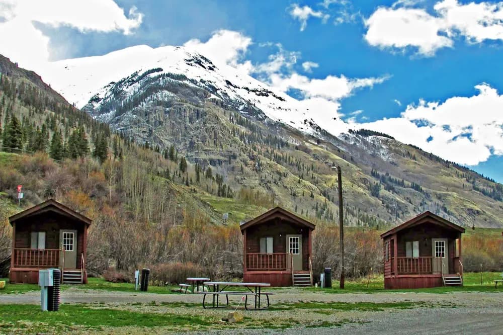
Silverton Lakes RV Park and Cabins

Kingfisher Wild Land Trust