Hiking · Durango, CO
Pop Top
Before you go
Live · nearest station Durango, 0 miGood window today. Daylight to 6:28 pm.
Thunderstorms
Feels like 60°
Storm chance
37% tonight
Wind
0 mph
UV index
0 low
Sun window
7:23 am to 6:28 pm
Animas River at Durango is running 1,190 cfs and falling, water 49°.
Distance
0.5mi round trip
Elevation gain
—
High point
7,030ft
Season
Jan - Dec
About
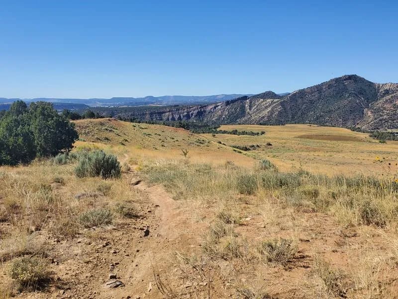
Pop Top is a short, easy hiking trail in Durango, Colorado, situated within the Three Springs Trail System. The 0.5-mile route sits at an elevation of approximately 7,030 feet and features minimal elevation gain, ranging from roughly 6,947 to 7,025 feet. The trail runs along a fenceline in an east-west direction and is characterized by its flat, straightforward path. Hikers traverse a doubletrack dirt road before connecting to the North Spur Line Lollipop Loop. The surface is primarily dirt, with some shade provided by scrub oak and low bushes. The trail allows hiking, leashed dogs, and bicycles year-round. Parking is available at the trailhead located in Three Springs, Durango (coordinates 37.24993, -107.82724). The route is accessible from January through December and typically takes about 15 minutes to complete.
Trail profile
Gain
—
Avg grade
—
Steepest
—
High point
7,030 ft
Good to know
Parking at the trailhead
Waypoints
Latest trail reportgood
Trail is in good condition. No significant obstacles or hazards reported.
Reported Mar 2, 2025Verified
What people say
Reviews
No reviews yet
Been here? Help the next person out.
Within 30 miles