Fall Hiking · Rifle, CO
Raynard Ditch Trail
Before you go
Live · nearest station Glenwood Springs, 24 miGood window today.
Cloudy
Feels like 60°
Storm chance
13% tonight
Wind
5 mph NNE
Distance
—
Elevation gain
—
High point
5,511ft
Season
Sep - Novin season
About
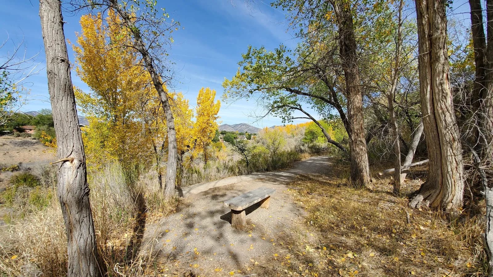
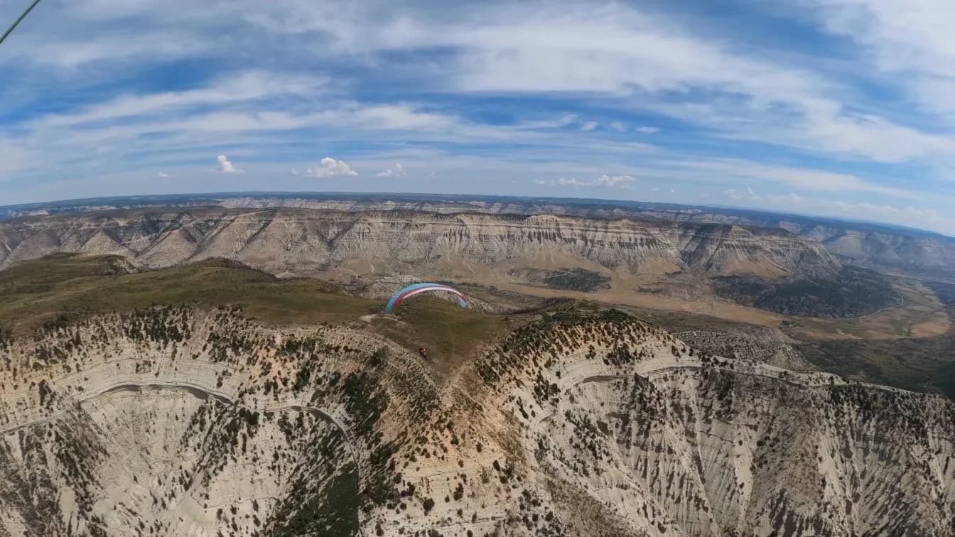
The Raynard Ditch Trail is a moderate 4-mile hiking route in Rifle, Colorado, located on the Western Slope. The trail follows a historic ditch and connects Deerfield Park to Anvil View Avenue near 16th Street. Hikers traverse Graham Mesa with an elevation gain of approximately 800 feet, starting from an elevation of 5,511 feet. The path is a multi-use gravel trail suitable for walking in both directions. The surface is generally smooth with some rocky and uneven sections. Fall hiking, from September through November, offers typically dry and firm conditions. The trail takes about 2 hours to complete on average. Parking is available at the start near Deerfield Park, and restrooms are located there as well. The trail is pet friendly.
Trail profile
Gain
—
Avg grade
—
Steepest
—
High point
5,511 ft
Good to know
Parking at the trailhead
Restrooms available
Dogs allowed on leash
Waypoints
No waypoints mapped for this trail yet.
What people say
Reviews
No reviews yet
Been here? Help the next person out.
Within 30 miles