Hiking · Glenwood Springs, CO
Return to Dirt
Before you go
Live · nearest station Glenwood Springs, 4 miGood window today. Daylight to 5:01 pm.
Clear
Feels like 33°
Wind
5 mph SE
UV index
0 low
Sun window
6:44 am to 5:01 pm
Roaring Fork at Glenwood Springs is running 578 cfs and falling, water 42°.
Distance
—
Elevation gain
—
High point
6,063ft
Season
Jan - Dec
About
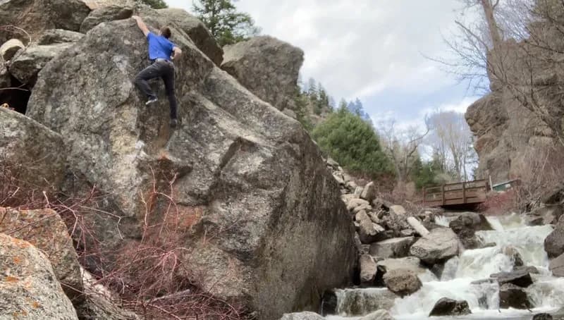
Return to Dirt is a moderate hiking trail located in Glenwood Springs, Colorado, on the Western Slope. The trail sits at an elevation of 6,063 feet and typically takes about two hours to complete. It is open year-round and features parking at the trailhead. The route allows pets and presents moderate difficulty, characterized by inclines and uneven terrain suitable for hikers with some experience.
Trail profile
Gain
—
Avg grade
—
Steepest
—
High point
6,063 ft
Good to know
Parking at the trailhead
Dogs allowed on leash
Waypoints
No waypoints mapped for this trail yet.
What people say
Reviews
No reviews yet
Been here? Help the next person out.
Within 30 miles