Hiking · Aspen, CO
Shadyside Trail
Before you go
Live · nearest station Aspen, 2 miGood window today. Daylight to 7:02 pm.
Thunderstorms
Feels like 53°
Trailhead temp
49° est. at 9,170 ft
Storm chance
45% tonight
Wind
5 mph SSW
UV index
0 low
Sun window
6:56 am to 7:02 pm
Distance
2.6mi round trip
Elevation gain
422ft
High point
9,837ft
Season
Jan - Dec
About
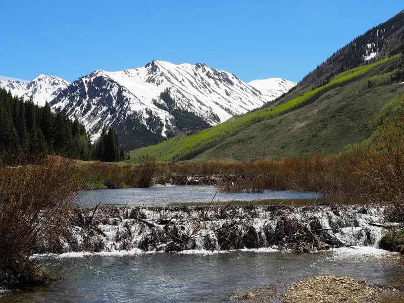
The Shadyside Trail is a 2.6-mile difficult route in Aspen, Colorado, located on the Western Slope. It serves as an alternative to the adjacent Sunnyside Trail, offering a shady environment dominated by dark timber forest and several aspen groves. The trail reaches an elevation of 9,170 feet, with some sources citing a peak of 10,048 feet. It is accessible year-round and provides parking at the trailhead. The route supports hiking, running, mountain biking, and horseback riding, and is dog friendly. Hikers typically complete the trail in about two hours. The path connects to Sunnyside Trail and Red Mountain Road (FSR #130.3). A portion of the trail offers views toward the Woody Creek Valley. The trail surface is dirt.
Trail profile
Gain
422 ft
Avg grade
3%
Steepest
6%
High point
9,837 ft
Good to know
Parking at the trailhead
Waypoints
Latest trail reportgood
Trail is in good condition. No significant obstacles or hazards reported.
Reported Mar 2, 2025Verified
What people say
Reviews
No reviews yet
Been here? Help the next person out.
Within 30 miles