Mountain Biking · Silverton, CO
Silverton to Boulder Gulch
Before you go
Live · nearest station Telluride, 12 miGood window today.
Chance of Rain
Feels like 55°
Storm chance
38% afternoon
Wind
5 mph SW
Distance
16.2mi round trip
Elevation gain
2,136ft
High point
11,490ft
Season
Apr - Octin season
About
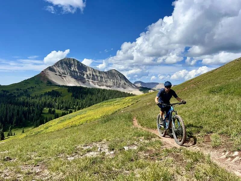
The Silverton to Boulder Gulch route is a demanding 16.2-mile mountain biking loop starting in Silverton, Colorado. Riders begin on paved County Road 110, turning onto County Road 52 to reach the Velocity Basin parking area. From there, the ride transitions into a mandatory hike-a-bike ascent up BLM land, as bikes must be carried up the steep grade to the ridge. After cresting the ridge, riders descend the steep, technical Boulder Gulch trail, which drops approximately 3,700 feet in under four miles through alpine tundra, exposed side-hilling, and loose scree. The trail is generally considered difficult and requires preparation for remoteness, limited cell service, and variable weather. The route is typically accessible from April through October, with parking available at the start. Pets are permitted.
Trail profile
Gain
2,136 ft
Avg grade
2%
Steepest
8%
High point
11,490 ft
Good to know
Parking at the trailhead
Dogs allowed on leash
Waypoints
Latest trail reportgood
Trail is in good condition. Traction is good with minimal obstacles.
Reported Mar 3, 2025Verified
What people say
Reviews
No reviews yet
Been here? Help the next person out.
Within 30 miles