Mountain Biking · Silverton, CO
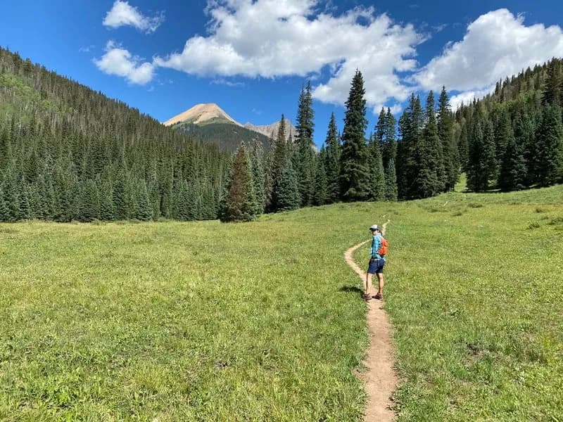
Singletrack connector from Cascade Divide Road to the Colorado Trail.
Before you go
Live · nearest station Telluride, 12 miStorms build later today. Plan an early finish.
Chance of Rain
Feels like 45°
Storm chance
50% tonight
Wind
5 mph ESE
Distance
—
Elevation gain
—
High point
9,309ft
Season
Apr - Octpeak now
About
The Singletrack connector from Cascade Divide Road to the Colorado Trail is a short, difficult mountain biking route located near Silverton and Rico in Western Colorado. The trail spans approximately 0.9 miles (1.4 kilometers) with an elevation range from roughly 10,933 feet to 11,301 feet. It serves as a direct link between Cascade Divide Road and the main Colorado Trail, allowing riders to transition from the 4WD road onto natural surface singletrack. The route is classified as difficult, requiring skill and physical fitness to navigate uneven terrain and potential obstacles. Access is available from April through October, though riders should expect variable weather and possible snow patches at this high elevation. Parking is provided near the trailhead, and the path is pet friendly. E-bikes are permitted on this connector.
Trail profile
Gain
—
Avg grade
—
Steepest
—
High point
9,309 ft
Good to know
Parking at the trailhead
Dogs allowed on leash
Waypoints
Latest trail reportgood
Spring conditions. Trail may be muddy after recent rain. Check trail status before riding.
Reported Mar 3, 2025Verified
What people say
Reviews
No reviews yet
Been here? Help the next person out.
Within 30 miles