Mountain Biking · Gunnison, CO
Sky Line
Before you go
Live · nearest station Gunnison, 0 miGood window today.
Thunderstorms
Feels like 52°
Wind
0 mph
Distance
—
Elevation gain
—
High point
7,705ft
Season
Apr - Octpeak now
About
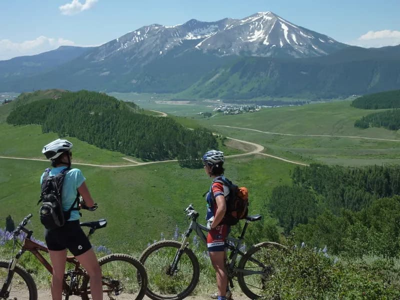
Sky Line is a mountain biking trail in Gunnison, Colorado, located within the Rio Grande and La Garita National Forests. The trail spans approximately 1.9 to 2 miles with an elevation of 7,705 feet. It features a total elevation change ranging from 115 to 2,634 feet depending on the specific route segment and direction. The surface is primarily singletrack with sections of rocky terrain. Difficulty ratings vary between intermediate (blue) and difficult, with some sources noting harder rockier sections near the upper parts. The trail is open from April through October and allows dogs, typically on leash. Parking is available at the trailhead. Gunnison serves as a regional hub for mountain biking, and Sky Line is accessible via the Gunnison Ranger District.
Trail profile
Gain
—
Avg grade
—
Steepest
—
High point
7,705 ft
Good to know
Parking at the trailhead
Dogs allowed on leash
Waypoints
Latest trail reportgood
Trail is in good condition. Traction is good with minimal obstacles.
Reported Mar 2, 2025Verified
What people say
Reviews
No reviews yet
Been here? Help the next person out.
Within 30 miles