Rock Climbing · Rifle, CO
Spurt-a-tron
Before you go
Live · nearest station Glenwood Springs, 26 miStorms build later today. Plan an early finish.
Thunderstorms
Feels like 59°
Storm chance
77% tonight
Wind
5 mph ESE
UV index
0 low
Sun window
7:00 am to 7:04 pm
Distance
—
Elevation gain
131ft
High point
5,952ft
Season
Jan - Dec
About
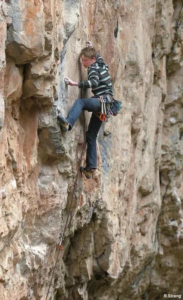
Spurt-a-tron is a sport climbing route located in the Arsenal sector of Rifle Mountain Park, just outside Rifle, Colorado. The climb is rated 5.13a or 5.13b in the Yosemite Decimal System and measures approximately 80 feet (24 meters). It is situated on the left side of the Arsenal, sharing its first bolt and many holds with a route named The Path. It sits one route to the right of Slag-issimo, which features fixed chain draws in the center of the sector. The route was first ascended by Colin Lantz. The climbing profile includes crimpy moves leading to underclings beneath a roof. A difficult boulder problem section transitions the climber into a corner above. The route continues with juggy, blocky climbing slightly right of the bolt line to a rest below a second roof. The crux involves a blind reach over the lip, followed by throwing right to stand up into an overhanging chimney or groove. The upper headwall offers pumpy climbing on good stone to anchors at the break. Protection requires 10 to 11 quickdraws. Access is straightforward with parking available in Rifle Mountain Park. The area is pet friendly. While the route is behind trees, reducing visibility from the road, it remains accessible to climbers. The grade is considered difficult but offers a more accessible challenge compared to the nearby Spray-a-thon, which feels slightly harder. Recent redpoints by climbers such as Luke Zimmerman confirm the route's quality and consistency.
Trail profile
Gain
131 ft
Avg grade
—
Steepest
—
High point
5,952 ft
Good to know
Parking at the trailhead
Dogs allowed on leash
Waypoints
Latest trail reportgood
Spring climbing conditions. Route may be wet after rainfall. Check weather forecast before climbing.
Reported Mar 3, 2025Verified
What people say
Reviews
No reviews yet
Been here? Help the next person out.
Within 30 miles