Rock Climbing · Grand Junction, CO
The Fin
Before you go
Live · nearest station Grand Junction, 1 miGood window today.
Mostly Cloudy
Feels like 62°
Storm chance
2% tonight
Wind
0 mph
Gunnison River near Grand Junction is running 1,170 cfs and falling, water 64°.
Distance
—
Elevation gain
—
High point
4,606ft
Season
Jan - Dec
About
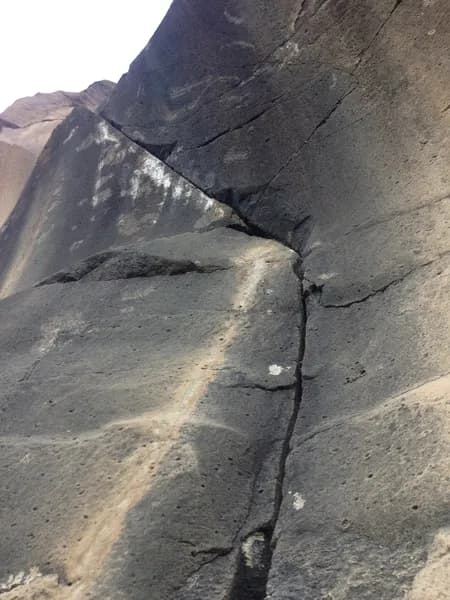
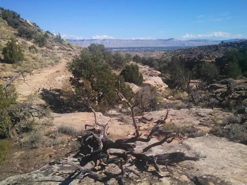
The Fin is a distinct, thin arched boulder located in the Grand Junction area of Colorado's Western Slope. The formation stands vertically out of the ground and is situated directly downhill from a cliff band, adjacent to a juniper tree. It is positioned close to and off the right side of the main trail leading north from Caprock Boulders. The rock quality is described as solid and strong, particularly on the uphill side. The boulder is small, suggesting limited route potential, and features a top large enough to stand on. There is no walk-off, requiring climbers to descend via the easy front side. Access is public. Parking is available on-site, and the site is pet-friendly. The elevation is recorded at 4,606 feet in some sources and 4,826 feet in others. Climbing difficulty is classified as moderate. The optimal climbing season extends from May through October. The landing area consists of scattered small boulders, posing a risk of ankle injury during falls.
Trail profile
Gain
—
Avg grade
—
Steepest
—
High point
4,606 ft
Good to know
Parking at the trailhead
Dogs allowed on leash
Waypoints
Latest trail reportgood
Spring climbing conditions. Route may be wet after rainfall. Check weather forecast before climbing.
Reported Mar 3, 2025Verified
What people say
Reviews
No reviews yet
Been here? Help the next person out.
Within 30 miles