Rock Climbing · Grand Junction, CO
The Mess
Before you go
Live · nearest station Grand Junction, 2 miGood window today. Daylight to 7:07 pm.
Thunderstorms
Feels like 68°
Storm chance
29% tonight
Wind
15 mph SSE
UV index
0 low
Sun window
7:04 am to 7:07 pm
Gunnison River near Grand Junction is running 1,140 cfs, water 65°.
Distance
—
Elevation gain
—
High point
4,541ft
Season
Jan - Dec
About
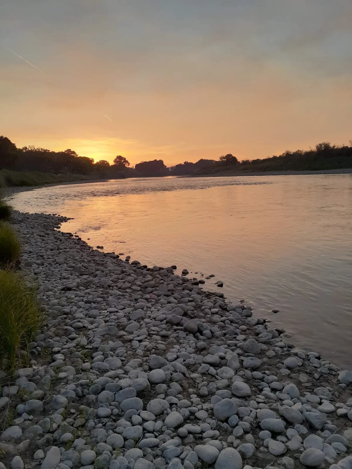
The Mess is a rock climbing area located near Grand Junction, Colorado. It features moderate difficulty routes suitable for climbers seeking steady challenges. The site sits at an elevation of 4,541 feet, which contributes to a mild climate that supports year-round climbing activity. Access is straightforward with parking available on site, and the area permits pets. Climbers can expect a half-day excursion, with an estimated duration of four hours per visit. The local geology includes jaggy red rocks and exposed cliff faces, offering a mix of crack climbing routes and technical boulders. Grand Junction serves as the central hub for Western Slope climbing, providing access to guidebooks and local gear shops. The area is part of a broader network that includes Unaweep Canyon, known for its sandstone blocks and granite walls. Seasonal conditions vary, with spring and fall offering mild temperatures ideal for climbing. Summer heat can be intense, but shaded areas provide relief. Winter access remains possible on sunny days, though climbers should avoid sandstone routes after rain or snow to prevent damage and ensure safety. The Mess is accessible via CO Hwy 141, situated south of Grand Junction between Whitewater and Gateway. The local climbing community is active, with organizations like the Western Colorado Climbers' Coalition providing updates on access and bolting rules. Guidebooks such as 'Grand Junction Rock' by K.C. Baum detail the specific climbs in this region.
Trail profile
Gain
—
Avg grade
—
Steepest
—
High point
4,541 ft
Good to know
Parking at the trailhead
Dogs allowed on leash
Waypoints
Latest trail reportgood
Spring climbing conditions. Route may be wet after rainfall. Check weather forecast before climbing.
Reported Mar 3, 2025Verified
What people say
Reviews
No reviews yet
Been here? Help the next person out.
Within 30 miles
Nearby spots
Big Bertha