Rock Climbing · Grand Junction, CO
The Middle Finger - History is Tradition
Before you go
Live · nearest station Grand Junction, 2 miGood window today. Daylight to 7:09 pm.
Mostly Cloudy
Feels like 76°
Storm chance
5% tonight
Wind
5 mph WSW
UV index
0 low
Sun window
7:02 am to 7:09 pm
Gunnison River near Grand Junction is running 1,150 cfs, water 65°.
Distance
—
Elevation gain
—
High point
4,596ft
Season
Jan - Dec
About
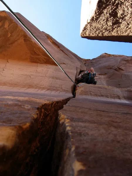
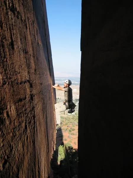
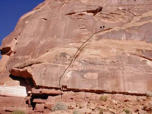
The Middle Finger is a difficult rock climbing site located in Colorado National Monument, just south of Grand Junction. The area features desert-style sandstone formations, including towers and splitter cracks composed of Wingate and Entrada rock. Climbers typically spend about six hours on site, with routes demanding skill and physical endurance. The elevation is listed at 4,596 feet in the database, though some sources cite nearby landmarks like Independence Monument at 5,739 feet. Parking is available on site, and the location is pet friendly. The climbing area is accessible year-round, with fall through spring offering the best conditions due to warmer temperatures. Summer heat can be significant, and winter days may be cold but manageable on sunny afternoons. A critical practical detail for this sandstone environment is rock fragility; climbers should wait for the rock to dry after rain, as wet sandstone is easily damaged and gear placement poses safety concerns. Camping options exist within the park along Rim Rock Drive or in nearby BLM areas, with water and showers available at designated sites.
Trail profile
Gain
—
Avg grade
—
Steepest
—
High point
4,596 ft
Good to know
Parking at the trailhead
Dogs allowed on leash
Waypoints
Latest trail reportgood
Spring climbing conditions. Route may be wet after rainfall. Check weather forecast before climbing.
Reported Mar 3, 2025Verified
What people say
Reviews
No reviews yet
Been here? Help the next person out.
Within 30 miles