Hiking · Grand Junction, CO
Third Flats Road
Before you go
Live · nearest station Grand Junction, 2 miGood window today.
Mostly Cloudy
Feels like 62°
Storm chance
2% tonight
Wind
0 mph
Gunnison River near Grand Junction is running 1,170 cfs and falling, water 64°.
Distance
4.7mi round trip
Elevation gain
612ft
High point
5,281ft
Season
Jan - Dec
About
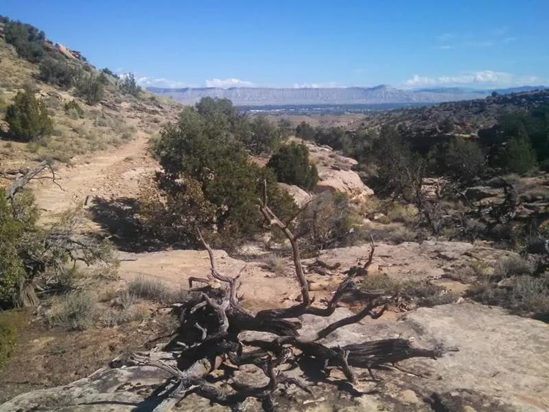
Third Flats Road is a 4.7-mile moderate hiking trail in Grand Junction, Colorado, situated within the Bangs Canyon Recreation Area managed by the BLM. The route follows a well-marked dirt and gravel road that offers a long, steady climb with mixed flat and inclined sections. The trailhead provides parking and restrooms. While the full route is approximately 4.7 miles with an elevation of roughly 5,893 feet at its peak or along the path, some sources cite a length of 4 miles and an average completion time of 32 minutes for the multi-use path, while others estimate a duration of about 3 hours for the full hike. The terrain is typical of the Western Slope high desert landscape. The trail is accessible year-round, though conditions vary by season, and it is particularly noted for fall foliage viewing between September and November. It is suitable for dogs and offers views of wildlife.
Trail profile
Gain
612 ft
Avg grade
2%
Steepest
7%
High point
5,281 ft
Good to know
Parking at the trailhead
Waypoints
Latest trail reportgood
Trail is in good condition. No significant obstacles or hazards reported.
Reported Mar 2, 2025Verified
What people say
Reviews
No reviews yet
Been here? Help the next person out.
Within 30 miles