Rock Climbing · Grand Mesa, CO
Topographic Reversal
Before you go
Live · nearest station Delta County, 18 miGood window today.
Cloudy
Feels like 61°
Trailhead temp
48° est. at 8,717 ft
Storm chance
17% tonight
Wind
5 mph ESE
Distance
—
Elevation gain
—
High point
8,717ft
Season
Jan - Dec
About
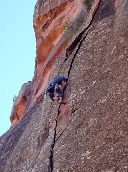
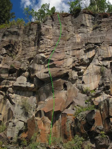
Topographic Reversal is a difficult rock climbing area located on the Grand Mesa, a large basalt plateau west of Grand Junction. The site sits at an elevation of 8,717 feet. Climbers access the area via the Land's End Area, reached by driving south on US Highway 50 from Grand Junction, then east on Kannah Creek Road. Parking is available on-site. The area is pet friendly. Routes here are generally trad and demand technical skill. One known route, Bioturbation, is a 5.11- variation that requires traversing a roof section. The climbing season is year-round. The Grand Mesa consists of hard volcanic basalt, which is often fractured but provides steep walls with good rock quality in specific areas.
Trail profile
Gain
—
Avg grade
—
Steepest
—
High point
8,717 ft
Good to know
Parking at the trailhead
Dogs allowed on leash
Waypoints
Latest trail reportgood
Spring climbing conditions. Route may be wet after rainfall. Check weather forecast before climbing.
Reported Mar 3, 2025Verified
What people say
Reviews
No reviews yet
Been here? Help the next person out.
Within 30 miles