Rock Climbing · Rifle, CO
Turtle Power
Before you go
Live · nearest station Glenwood Springs, 25 miGood window today. Daylight to 7:06 pm.
Cloudy
Feels like 60°
Storm chance
13% tonight
Wind
5 mph NNE
UV index
0 low
Sun window
6:59 am to 7:06 pm
Distance
—
Elevation gain
3ft
High point
5,308ft
Season
Jan - Dec
About
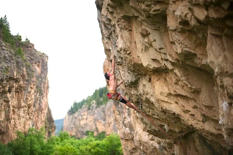
Turtle Power is a rock climbing route located in Rifle Mountain Park, west of Rifle, Colorado. The site features limestone sport climbing with a difficult rating, specifically graded 5.13a. It is situated within the Arsenal sector of the park, characterized by steep to very overhanging walls. The rock consists of large, flat holds, pockets, crimps, and pinches. Access is available year-round, with the area being most active from May through September. Parking is provided on site, and pets are permitted. The route elevation is listed at 5,305 feet in the database, though general park data indicates elevations up to 7,085 feet. The climbing involves long, complex endurance routes on blocky limestone of the Leadville formation.
Trail profile
Gain
3 ft
Avg grade
—
Steepest
—
High point
5,308 ft
Good to know
Parking at the trailhead
Dogs allowed on leash
Waypoints
Latest trail reportgood
Spring climbing conditions. Route may be wet after rainfall. Check weather forecast before climbing.
Reported Mar 3, 2025Verified
What people say
Reviews
No reviews yet
Been here? Help the next person out.
Within 30 miles