Hiking · Ouray, CO
Uncompahgre Falls Connector Trail
Before you go
Live · nearest station Telluride, 10 miStorms build later today. Plan an early finish.
Chance of Rain
Feels like 45°
Storm chance
50% tonight
Wind
5 mph ESE
Distance
0.1mi round trip
Elevation gain
—
High point
9,295ft
Season
Jan - Dec
About
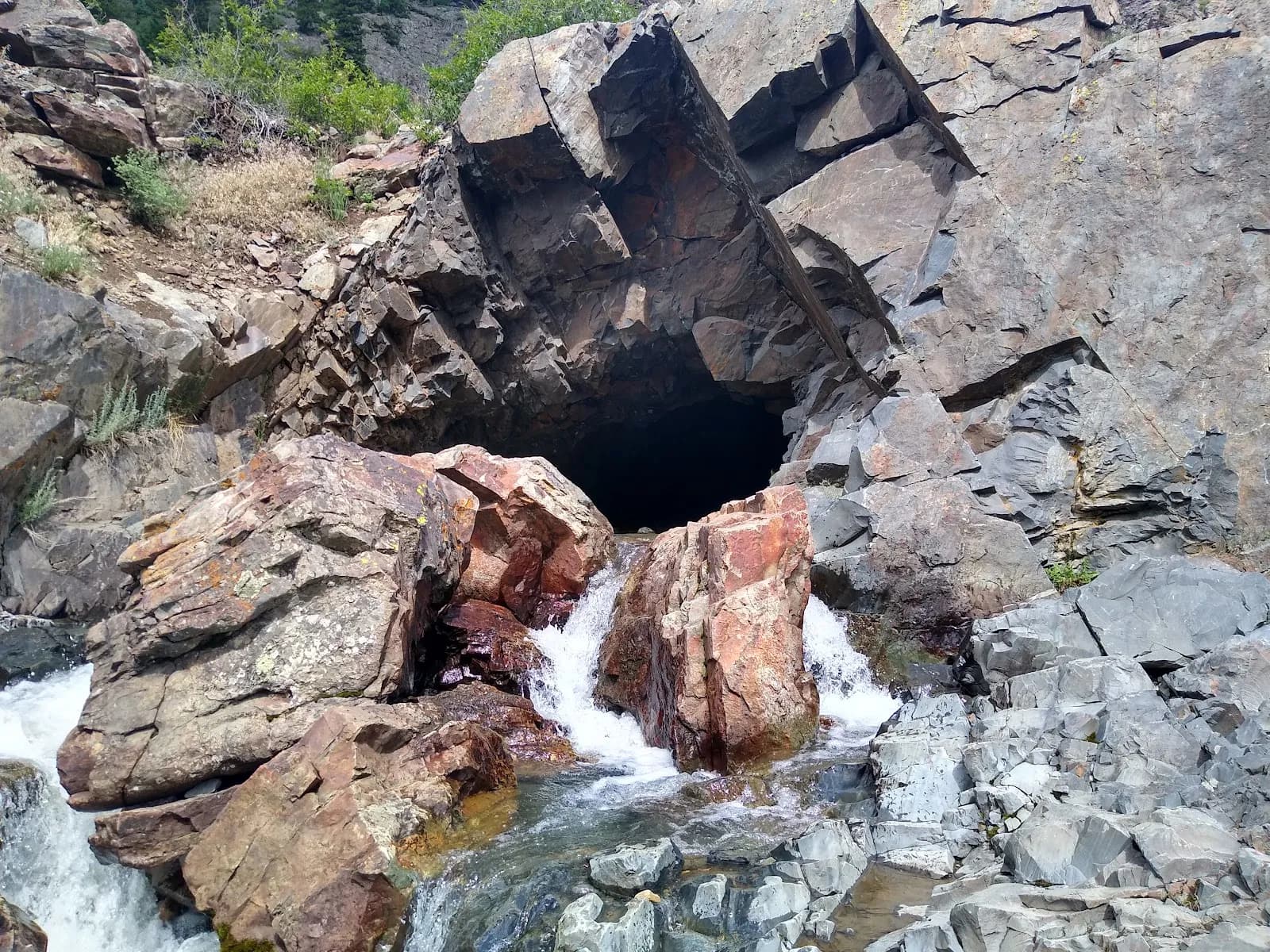
The Uncompahgre Falls Connector Trail is a short, 0.1-mile hiking path located in Ouray, Colorado, on the Western Slope. It serves primarily as an access point to view Uncompahgre Falls and the surrounding Ouray Valley. The trail follows an unnamed dirt path alongside the Uncompahgre River. Hikers should exercise caution due to steep drop-offs along the route. The trailhead features parking available at a turnout along the Million Dollar Highway. Dogs are permitted on a leash. The trail is rated as moderate difficulty and sits at an elevation of approximately 9,295 feet. While the connector itself is brief, it links to other routes for longer excursions.
Trail profile
Gain
—
Avg grade
—
Steepest
—
High point
9,295 ft
Good to know
Parking at the trailhead
Waypoints
Latest trail reportgood
Trail is in good condition. No significant obstacles or hazards reported.
Reported Mar 2, 2025Verified
What people say
Reviews
No reviews yet
Been here? Help the next person out.
Within 30 miles