Fall Hiking · Montrose, CO
Uncompahgre National Forest
Before you go
Live · nearest station Montrose, 20 miGood window today.
Thunderstorms
Feels like 64°
Trailhead temp
52° est. at 9,161 ft
Storm chance
26% tonight
Wind
5 mph S
Distance
—
Elevation gain
—
High point
9,161ft
Season
Sep - Novin season
About
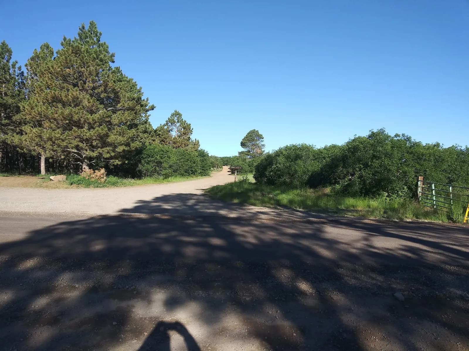
Uncompahgre National Forest, located on the Western Slope near Montrose and Ouray, offers moderate fall hiking suitable for experienced visitors. The forest sits at 9,161 feet elevation and typically requires about two hours to traverse. Hiking is available from September through November, with trails featuring rocky and steep terrain, changing leaf colors, and potential snowfall at higher elevations. Parking is available, and pets are permitted. The area contains over 80 trails of varying lengths and difficulties, including easy family routes and more challenging canyon hikes. Key features include deep canyons, sandstone rock formations, high-elevation forests, and views of surrounding peaks such as Mount Sneffels. Trails provide access to scenic overlooks, wildflower meadows, and lakes. The forest is accessible via Divide Road North or South.
Trail profile
Gain
—
Avg grade
—
Steepest
—
High point
9,161 ft
Good to know
Parking at the trailhead
Restrooms available
Dogs allowed on leash
Waypoints
No waypoints mapped for this trail yet.
What people say
Reviews
No reviews yet
Been here? Help the next person out.
Within 30 miles