Rock Climbing · Silverton, CO
Unknown 5.8
Before you go
Live · nearest station Telluride, 11 miStorms build later today. Plan an early finish.
Chance of Rain
Feels like 44°
Trailhead temp
43° est. at 9,593 ft
Storm chance
58% tonight
Wind
5 mph ESE
Distance
—
Elevation gain
26ft
High point
9,593ft
Season
Jan - Dec
About
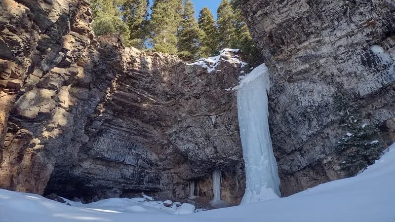
Unknown 5.8 is a traditional rock climbing route located in the Silverton area of Western Colorado, situated at an elevation near 9,600 feet. The climb is approximately 50 feet long and features a right-angling, tapering crack that transitions into about 15 feet of face climbing before reaching a bolted anchor. Access requires gear up to 3 inches, with climbers noting that while a #5 nut is not strictly necessary, it is frequently used. The route begins at the base of a wide crack marked by an aspen tree. Silverton sits on US Highway 550, providing straightforward access from Durango and Ouray. The area offers mixed climbing styles, including sport and trad lines, with rock types varying across the region. Climbing activity is generally concentrated in late spring through fall, though some routes remain accessible year-round. Parking is available on site, and the area accommodates pets.
Trail profile
Gain
26 ft
Avg grade
—
Steepest
—
High point
9,593 ft
Good to know
Parking at the trailhead
Dogs allowed on leash
Waypoints
Latest trail reportgood
Spring climbing conditions. Route may be wet after rainfall. Check weather forecast before climbing.
Reported Mar 4, 2025Verified
What people say
Reviews
No reviews yet
Been here? Help the next person out.
Within 30 miles