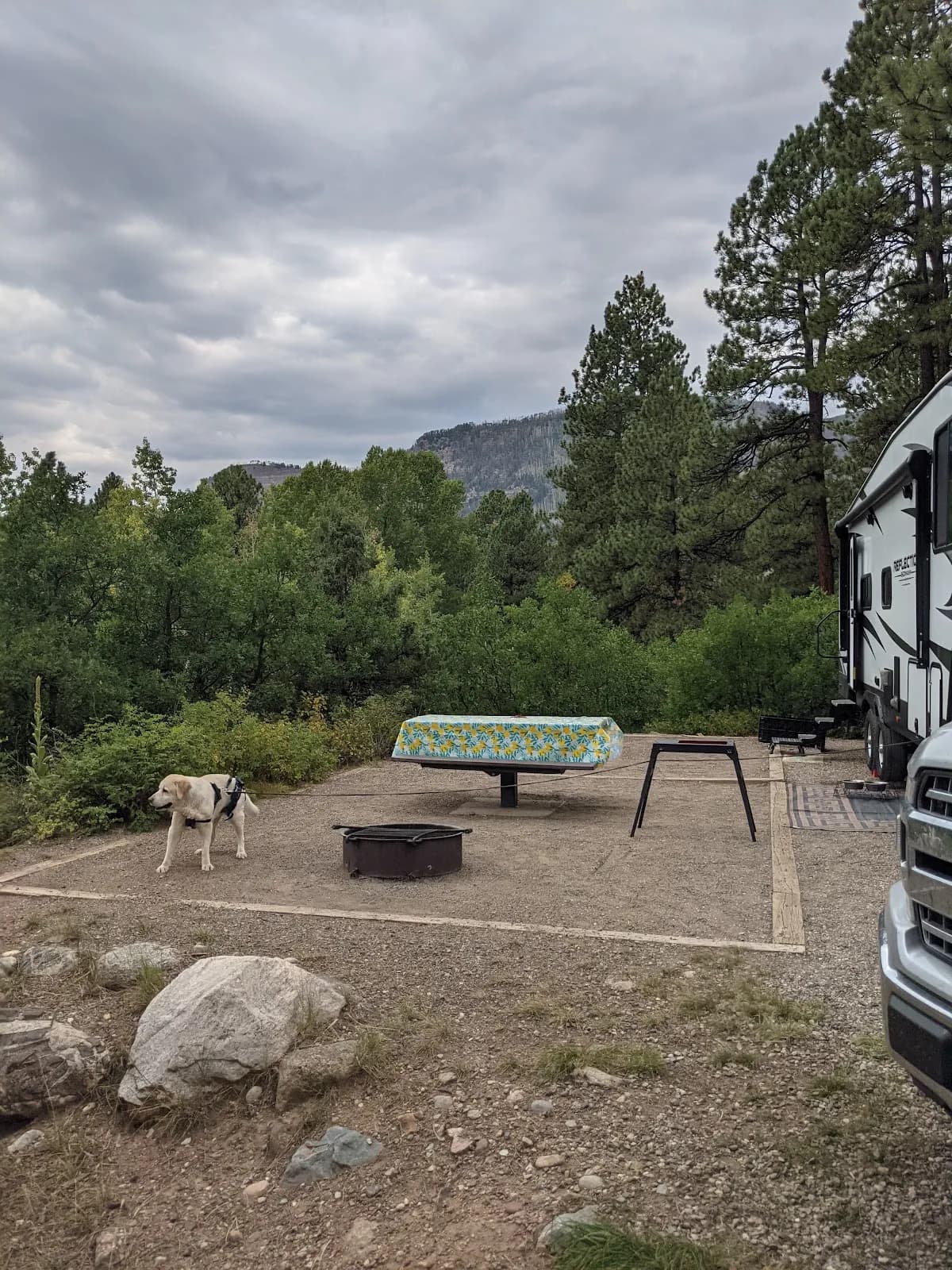
Fall Hiking · Durango, CO
Upper Hermosa Creek Trail, Durango, CO
Before you go
Live · nearest station Telluride, 22 miStorms build later today. Plan an early finish.
Chance of Rain
Feels like 44°
Storm chance
50% tonight
Wind
5 mph ESE
Distance
—
Elevation gain
—
High point
8,843ft
Season
Sep - Novin season
About
The Upper Hermosa Creek Trail is a moderate hiking route located in the San Juan National Forest near Durango, Colorado. The trailhead is accessible via U.S. Highway 550, with specific access points including parking near Purgatory Ski Resort or along Lower Hermosa Road. The hike typically takes around two hours to complete and reaches an elevation of 8,843 feet. During the fall season, from September through November, the trail offers views of changing aspen and oak foliage. Trail conditions vary and may include muddy or rocky sections, particularly after rainfall. Parking is available at the trailhead, and the trail is pet-friendly.
Trail profile
Gain
—
Avg grade
—
Steepest
—
High point
8,843 ft
Good to know
Parking at the trailhead
Restrooms available
Dogs allowed on leash
Waypoints
No waypoints mapped for this trail yet.
What people say
Reviews
No reviews yet
Been here? Help the next person out.
Within 30 miles
Nearby spots
Colorado Trail Segment 27 Trailhead
Hermosa Creek Trail