Fall Hiking · Grand Junction, CO
Upper Monument Canyon Trailhead
Before you go
Live · nearest station Grand Junction, 10 miGood window today. Daylight to 5:07 pm.
Clear
Feels like 36°
Trailhead temp
35° est. at 6,141 ft
Wind
5 mph ESE
UV index
0 low
Sun window
6:49 am to 5:07 pm
Distance
—
Elevation gain
—
High point
6,141ft
Season
Sep - Novin season
About
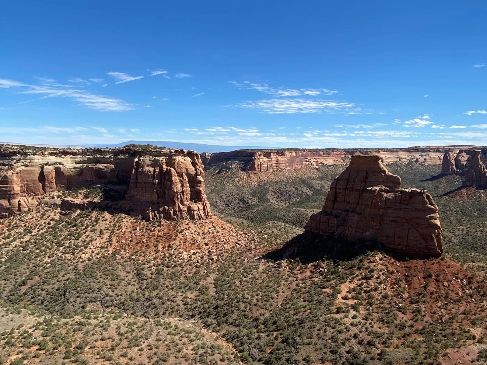
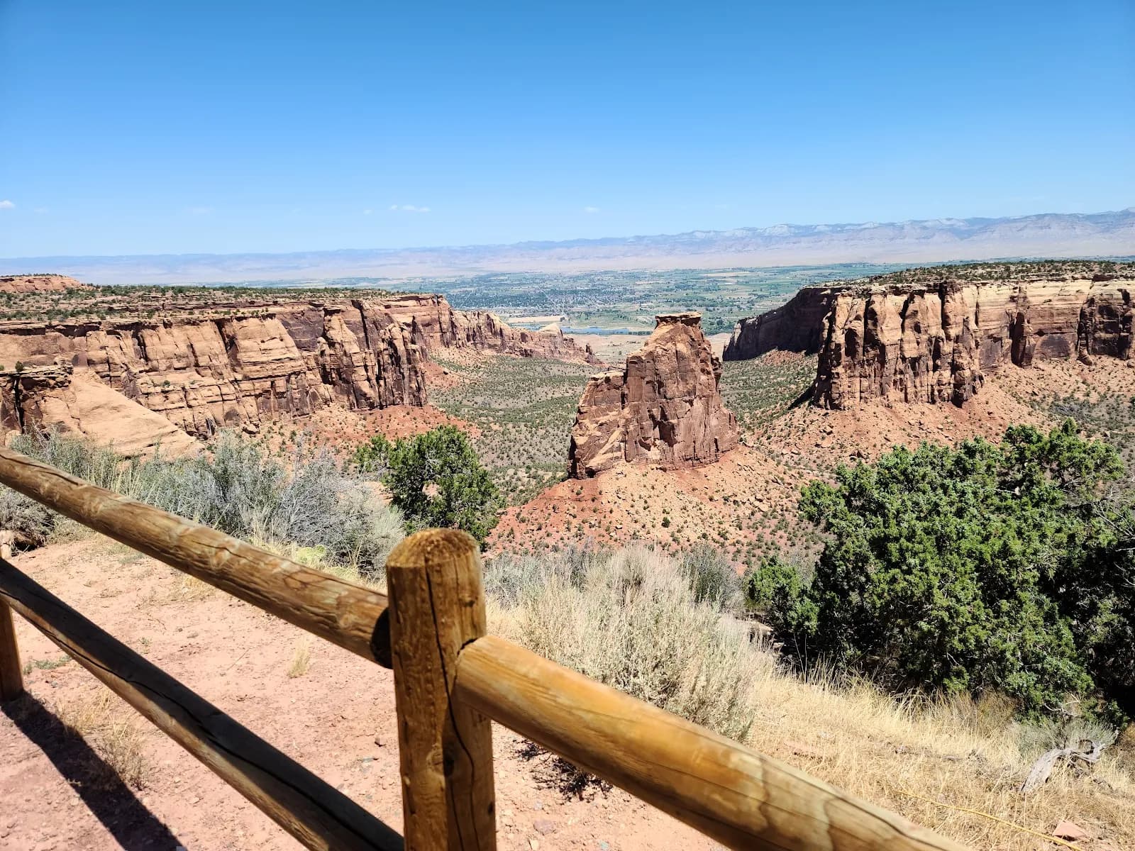
The Upper Monument Canyon Trailhead is a moderate hiking destination located in Grand Junction, Colorado, on the Western Slope. The trailhead sits at an elevation of 6,141 feet and serves as the starting point for hikes into Monument Canyon. The route is suitable for a typical 2-hour outing, though hikers can extend their time by exploring further into the canyon or connecting to the Monument Canyon Loop, which takes approximately 4 to 6 hours. The trail is accessible from September through November, making it a viable option for fall hiking. Accessing the upper trailhead involves traveling west on Interstate 70 to the Fruita exit. The terrain within the canyon is described as scenic, with conditions that include rocky and uneven surfaces. Practical amenities at the trailhead include available parking and restrooms, though no water source is listed for this specific location. The trail permits pets, allowing hikers to bring dogs along the route.
Trail profile
Gain
—
Avg grade
—
Steepest
—
High point
6,141 ft
Good to know
Parking at the trailhead
Restrooms available
Dogs allowed on leash
Waypoints
No waypoints mapped for this trail yet.
What people say
Reviews
No reviews yet
Been here? Help the next person out.
Within 30 miles