Hiking · Durango, CO
Upper Spur Trail
Before you go
Live · nearest station Durango, 0 miGood window today.
Mostly Sunny
Feels like 65°
Storm chance
14% afternoon
Wind
5 mph S
Animas River at Durango is running 1,200 cfs and falling, water 49°.
Distance
0.5mi round trip
Elevation gain
—
High point
7,136ft
Season
Jan - Dec
About
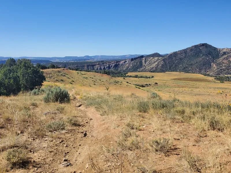
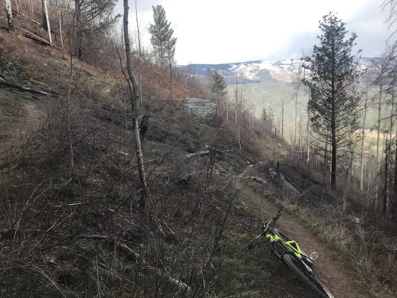
The Upper Spur Trail is a short, 0.5-mile hiking route located in Durango, Colorado, on the Western Slope. The trailhead sits at an elevation of 7,136 feet. The hike is classified as moderate difficulty and involves minimal elevation gain, approximately 39.4 feet. The route is described as straightforward and well-maintained, with an estimated duration of about 17 minutes for a quick out-and-back trip. Parking is available near the trailhead. Hikers should be prepared for snow and ice conditions during the winter months, specifically from January through March.
Trail profile
Gain
—
Avg grade
—
Steepest
—
High point
7,136 ft
Good to know
Parking at the trailhead
Waypoints
Latest trail reportgood
Trail is in good condition. No significant obstacles or hazards reported.
Reported Mar 2, 2025Verified
What people say
Reviews
No reviews yet
Been here? Help the next person out.
Within 30 miles