Fall Hiking · Creede, CO
Ute Trailhead
Before you go
Live · nearest station Telluride, 28 miStorms build later today. Plan an early finish.
Chance of Rain
Feels like 44°
Storm chance
50% tonight
Wind
5 mph ESE
Distance
—
Elevation gain
—
High point
9,466ft
Season
Sep - Novin season
About
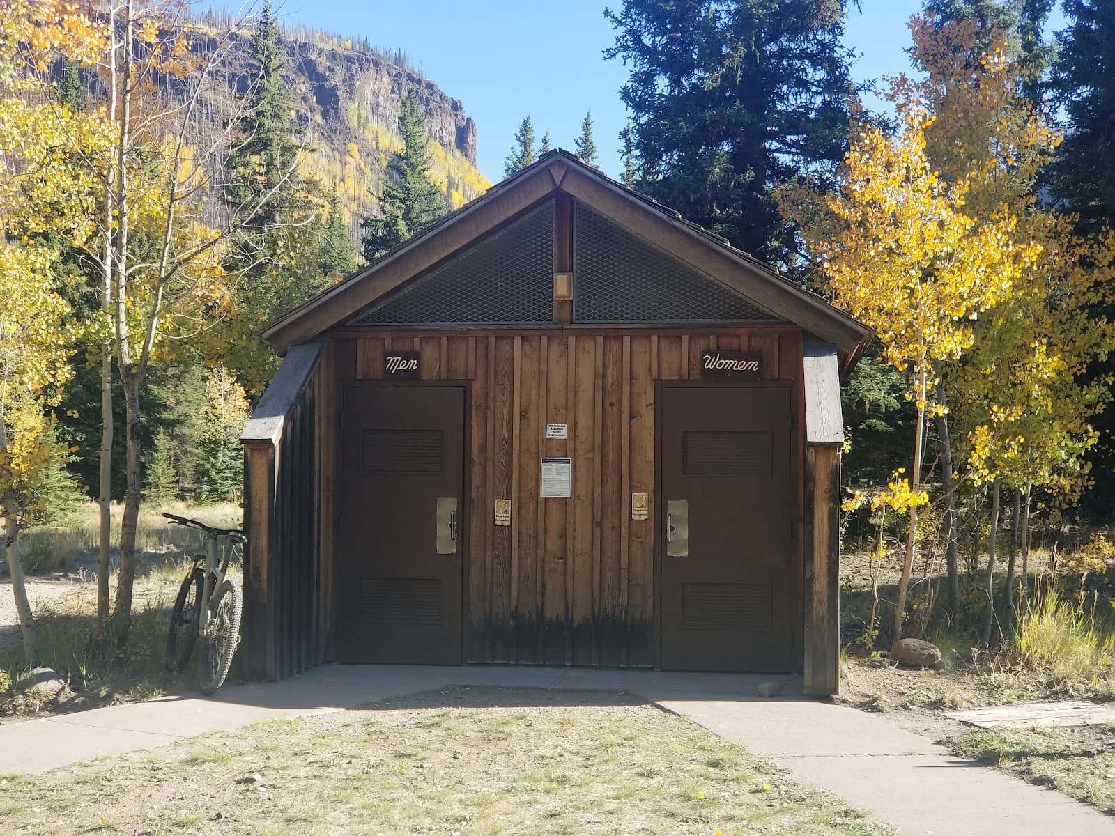
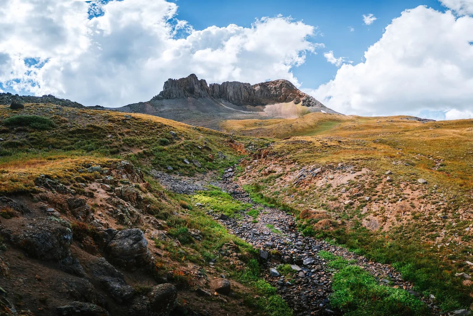
The Ute Trailhead in Creede serves as the access point for a moderate hiking route through the Gunnison Gorge National Conservation Area. Located at an elevation of 9,466 feet on the Western Slope, the trail offers views of Delta to the west and the Gunnison River canyon to the east. The route follows a ridge line that forms the western boundary of the wilderness area, dropping over 1,200 feet to reach the river level approximately 4.5 miles away. The hike typically takes about two hours and is suitable for September through November. Parking is available at the trailhead, which features a vault toilet, two campsites with shade structures and picnic tables, and an informational kiosk. A self-serve fee station manages wilderness access charges. The trail is pet friendly and remains generally dry and firm during the fall season, though hikers should prepare for uneven terrain. Access involves driving State 149 south from Creede to Rio Grande Reservoir, then taking Forest Road 520 and a dirt road to the inlet.
Trail profile
Gain
—
Avg grade
—
Steepest
—
High point
9,466 ft
Good to know
Parking at the trailhead
Restrooms available
Dogs allowed on leash
Waypoints
No waypoints mapped for this trail yet.
What people say
Reviews
No reviews yet
Been here? Help the next person out.
Within 30 miles