Hiking · Aspen, CO
Weller Lake
Before you go
Live · nearest station Aspen, 1 miGood window today.
Thunderstorms
Feels like 53°
Trailhead temp
47° est. at 9,578 ft
Storm chance
45% tonight
Wind
5 mph SSW
Distance
0.9mi round trip
Elevation gain
210ft
High point
9,578ft
Season
Jan - Dec
About
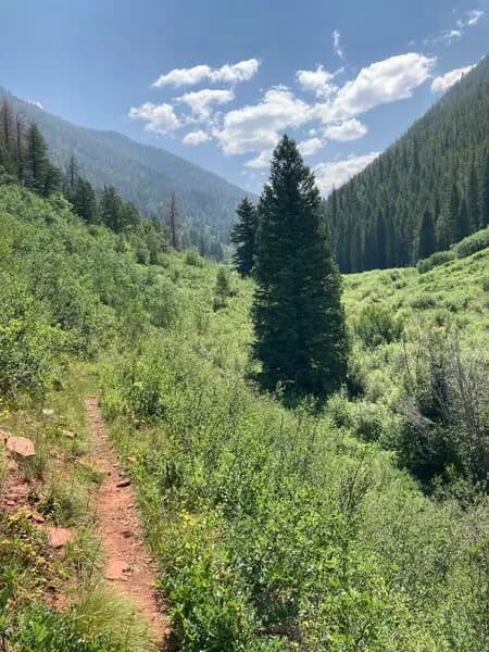
Weller Lake is a clear alpine lake situated in the White River National Forest, approximately 7.5 to 8 miles southeast of Aspen, Colorado. The trailhead is accessible via Highway 82 (Independence Pass), which is closed seasonally, limiting access typically from May to late September. The hike is short, ranging from 0.6 to 1.1 miles depending on the specific route taken, with an elevation gain of about 300 feet to reach the lake at 9,555 feet. The route involves crossing a wooden bridge over the Roaring Fork River and following a switchbacking path through forested slopes. The trail includes steps and some steep stretches, making it moderately difficult, particularly due to altitude and terrain rather than length. Parking is available at the trailhead, though it may be limited during peak seasons. The lake offers views of surrounding peaks, including Mt. Shimer, and features a large avalanche scar visible from the summit area. Wildlife such as elk, deer, and mountain goats may be present. Fishing for native cutthroat and brown trout is permitted with a valid Colorado fishing license. Dogs must be kept on a leash.
Trail profile
Gain
210 ft
Avg grade
4%
Steepest
4%
High point
9,578 ft
Good to know
Parking at the trailhead
Waypoints
Latest trail reportgood
Trail is in good condition. No significant obstacles or hazards reported.
Reported Mar 2, 2025Verified
What people say
Reviews
No reviews yet
Been here? Help the next person out.
Within 30 miles