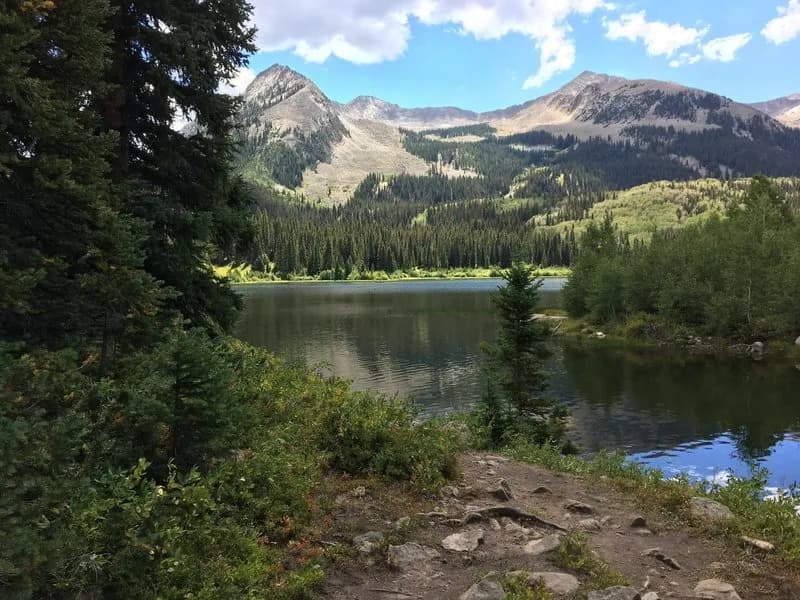
Hiking · Gunnison, CO
West Maroon Trail
Before you go
Live · nearest station Gunnison, 4 miStorms build later today. Plan an early finish.
Chance of Rain
Feels like 54°
Storm chance
57% tonight
Wind
5 mph ESE
Distance
9.07mi round trip
Elevation gain
709ft
High point
8,632ft
Season
Jan - Dec
About
The West Maroon Trail is a 9.07-mile difficult hike located in the White River National Forest near Gunnison and Aspen, Colorado. The trail connects Maroon Lake to Scholfield Park in Crested Butte, passing through aspen groves, willow swamps, and open tundra. Hikers gain significant elevation to reach West Maroon Pass at 7,923 feet before descending through a massive scree field and dense forest to Crater Lake. The route typically takes about six hours to complete, though duration varies based on whether the hiker is doing an out-and-back trip or connecting to the Four Pass Loop. The trailhead at Maroon Lake is within a recreation fee area, requiring a mandatory fee or valid Interagency, Senior, and Golden Access Passes. From mid-June through September, vehicle access on Maroon Creek Road is restricted between 8:00 a.m. and 5:00 p.m. beyond the T-Lazy 7 Ranch, making the shuttle from Aspen Highlands a viable option for those without high-clearance vehicles. The road to the trailhead on the Crested Butte side also requires a high-clearance vehicle. A key feature is a wide stream crossing located just over three miles from the start, which can be dangerous during high spring runoffs and may be difficult to locate on the far side after heavy rain. Bear canisters are required for backpackers, and advance reservations are needed for overnight stays in the surrounding wilderness zones. The trail is accessible year-round, with snow and ice present in winter months.
Trail profile
Gain
709 ft
Avg grade
1%
Steepest
4%
High point
8,632 ft
Good to know
Parking at the trailhead
Waypoints
Latest trail reportgood
Trail is in good condition. No significant obstacles or hazards reported.
Reported Mar 2, 2025Verified
What people say
Reviews
No reviews yet
Been here? Help the next person out.
Within 30 miles