Hiking · Silverton, CO
West Pole Creek Trail
Before you go
Live · nearest station Telluride, 12 miStorms build later today. Plan an early finish.
Thunderstorms
Feels like 46°
Storm chance
58% tonight
Wind
5 mph E
Distance
4.5mi round trip
Elevation gain
1,260ft
High point
10,568ft
Season
Jan - Dec
About
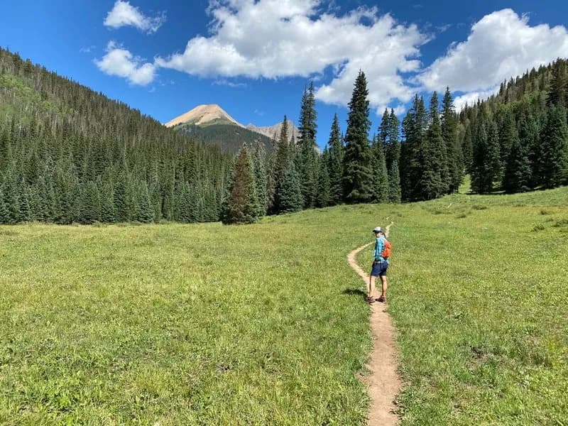
The West Pole Creek Trail is a 4.5-mile primitive hiking route near Silverton on Colorado's Western Slope. It connects the main Pole Creek Trail at its eastern end to the Continental Divide Trail (CDT) at its western terminus. The trail follows the West Pole Creek drainage and is characterized by a high point at the west end, with elevation changes that include steep descents into the creek and undulating climbs as it winds eastward. The terrain features a gradual grade with numerous small rises and extensive willow thickets. Difficulty is rated as difficult, likely due to these repeated climbs and descents rather than extreme steepness. The trail is accessible year-round, though hikers should prepare for winter conditions. Parking is available at the trailhead. The route takes approximately 3 hours to complete. It serves as a connector path, offering access to both the CDT and the main Pole Creek Trail.
Trail profile
Gain
1,260 ft
Avg grade
5%
Steepest
9%
High point
10,568 ft
Good to know
Parking at the trailhead
Waypoints
Latest trail reportgood
Trail is in good condition. No significant obstacles or hazards reported.
Reported Mar 2, 2025Verified
What people say
Reviews
No reviews yet
Been here? Help the next person out.
Within 30 miles