Hiking · Silverton, CO
White Creek Trail
Before you go
Live · nearest station Telluride, 12 miGood window today.
Thunderstorms
Feels like 41°
Storm chance
32% overnight
Wind
0 mph
Distance
3mi round trip
Elevation gain
1,476ft
High point
10,784ft
Season
Jan - Dec
About
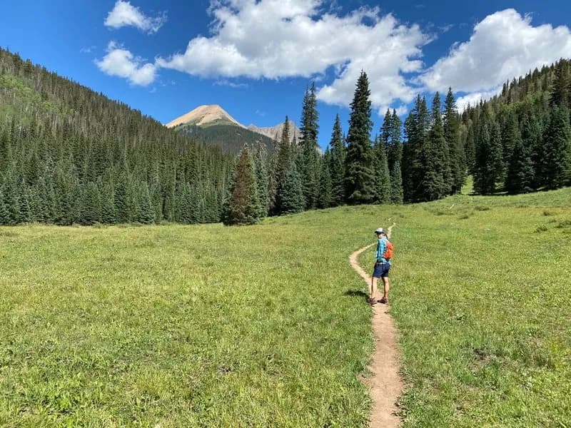
The White Creek Trail is a moderate 3-mile hiking route located near Silverton, Colorado, in the San Juan Mountains. The trailhead sits at an elevation of 9,308 feet, though the trail itself reaches an elevation of 11,657 feet. It typically takes about 2 hours to complete. Parking is available at the trailhead. The route connects the Engineer Mountain Trail to the Colorado Trail, following the side of the mountain with a gentle grade. It serves as a connector for hikers moving between Coalbank Pass and Molas Pass or traveling south on the Colorado Trail. The trail is accessible year-round, though winter conditions may require additional preparation. It is classified as a singletrack trail with views.
Trail profile
Gain
1,476 ft
Avg grade
9%
Steepest
13%
High point
10,784 ft
Good to know
Parking at the trailhead
Waypoints
Latest trail reportgood
Trail is in good condition. No significant obstacles or hazards reported.
Reported Mar 2, 2025Verified
What people say
Reviews
No reviews yet
Been here? Help the next person out.
Within 30 miles