Mountain Biking · Grand Mesa, CO
Whitewater Creek Trail ("Mark's Trail")
Before you go
Live · nearest station Delta County, 21 miGood window today.
Mostly Cloudy
Feels like 56°
Trailhead temp
37° est. at 10,373 ft
Storm chance
9% overnight
Wind
5 mph E
Distance
—
Elevation gain
—
High point
10,373ft
Season
Apr - Octpeak now
About
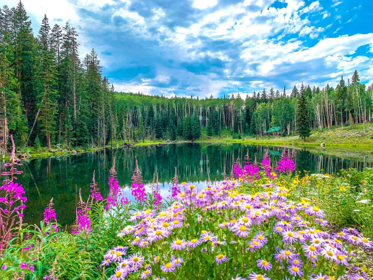
Whitewater Creek Trail, locally called Mark's Trail, is a mountain biking route on the western flanks of Grand Mesa near Whitewater. The trail follows the creek draining the Whitewater Basin. Evidence indicates the route is difficult with an elevation range of 4,982 to 5,730 feet and a round-trip distance of 9.1 miles. The trailhead is accessible via Reeder Mesa Road and Whitewater Creek Road. Parking is available at a pullout on the right side of the road. The trail is open for mountain biking and is pet friendly. Access is typically available from April through October. The route is marked by wooden posts stamped with WWC and occasional brown trail markers. Sections of the trail may have historical origins dating back to Native American use.
Trail profile
Gain
—
Avg grade
—
Steepest
—
High point
10,373 ft
Good to know
Parking at the trailhead
Dogs allowed on leash
Waypoints
Latest trail reportgood
Trail is in good condition. Traction is good with minimal obstacles.
Reported Mar 2, 2025Verified
What people say
Reviews
No reviews yet
Been here? Help the next person out.
Within 30 miles