Rock Climbing · Palisade, CO
Zig Zag Rope Drag
Before you go
Live · nearest station Grand Junction, 11 miGood window today. Daylight to 7:08 pm.
Mostly Cloudy
Feels like 74°
Trailhead temp
70° est. at 5,758 ft
Storm chance
5% tonight
Wind
5 mph SSW
UV index
0 low
Sun window
7:02 am to 7:08 pm
Colorado River near Cameo is running 1,480 cfs, water 66°.
Distance
—
Elevation gain
882ft
High point
5,816ft
Season
Jan - Dec
About
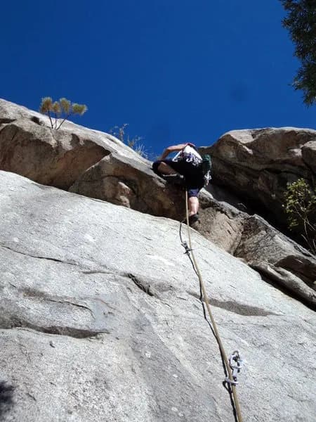
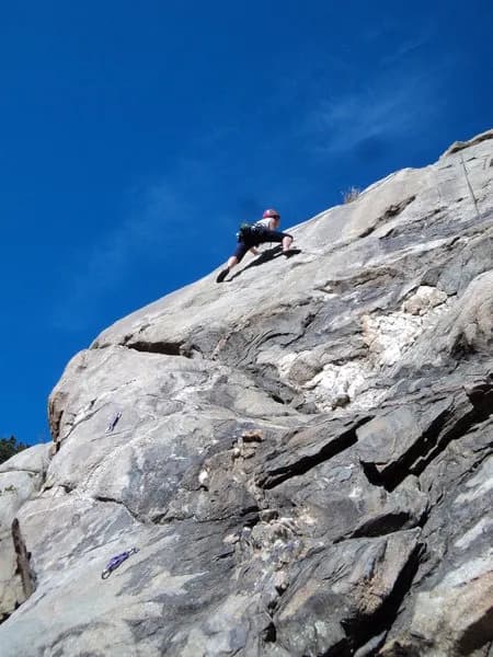
Zig Zag Rope Drag is a difficult rock climbing route located near Palisade, Colorado, on the Western Slope. The climb takes place at an elevation of 5,758 feet. The route is classified as difficult and typically requires about 5 hours to complete. Parking is available on site, and the area is pet-friendly. The route is accessible year-round from January to December, though weather conditions can vary. Note that recent data indicates the Critical Gold Mountain Fire may be active with evacuation orders in effect, so check current conditions before visiting.
Trail profile
Gain
882 ft
Avg grade
—
Steepest
—
High point
5,816 ft
Good to know
Parking at the trailhead
Dogs allowed on leash
Waypoints
Latest trail reportgood
Spring climbing conditions. Route may be wet after rainfall. Check weather forecast before climbing.
Reported Mar 3, 2025Verified
What people say
Reviews
No reviews yet
Been here? Help the next person out.
Within 30 miles