Denver Water Divertions Cut Winter Park River Flows in Half
Denver Water increased diversions from Western Slope streams to fill low reservoirs, cutting Fraser River flows near Winter Park from 4 to 2 cubic feet per second starting Tuesday.
The obvious narrative is that the Western Slope is simply losing its lifeblood to the thirsty metropolis of Denver. But that framing misses the real culprit: the Front Range’s own profligacy. To hear Kirk Klancke tell it, the problem wasn’t a lack of rain in the mountains; it was a surplus of sprinklers in the suburbs.
Klancke, president of the Colorado River headwaters chapter of Trout Unlimited, points to a simple, uncomfortable truth. “Every time you turn a sprinkler on in the Front Range, you’re taking the water level down in a river on the West Slope,” he said.
The mechanics are straightforward. Denver Water operates a massive collection system spanning 4,000 square miles across eight counties. For decades, water from Western Slope rivers, including the Fraser River in Grand County, has flowed through tunnels like Moffat and Roberts to supply Front Range communities. This is standard practice for moving water across basin boundaries to support growing populations. However, the current situation is exacerbated by Denver Water’s reservoirs sitting far below normal levels following a record-hot summer. To refill these critical storage facilities for 1.5 million people, the utility has activated mandatory restrictions and increased diversions from Western Slope streams.
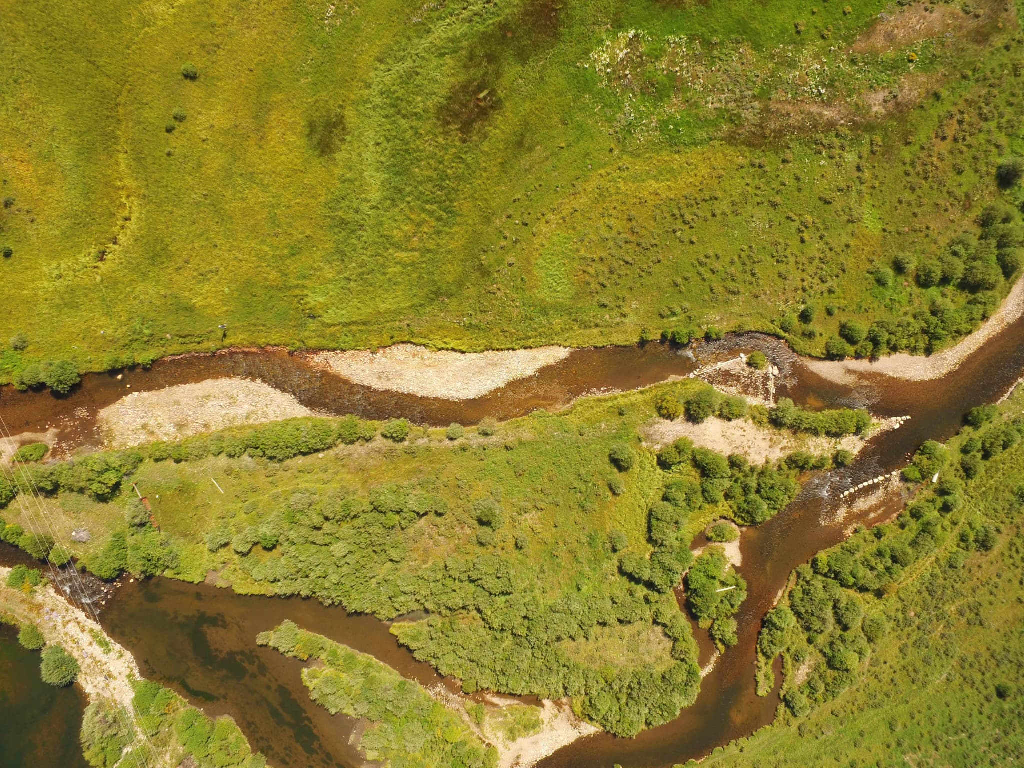
This is where the local impact becomes tangible. In Grand County, the Fraser River is not just a scenic backdrop; it is the sole water supply for the Winter Park Ski Resort. Similarly, Vasquez Creek, a tributary flowing into the Fraser, provides the only water source for the town of Winter Park. As Denver Water ramps up its intake to meet storage targets, the bypass flows — the water left behind for local ecosystems and communities — are shrinking.
The numbers illustrate the squeeze. Starting Tuesday, the flow past a gauge on the Fraser River will drop from 4 cubic feet per second (cfs) to 2 cfs. For context, historical data shows that Fraser River flows in late September typically hover between 6 and 10 cfs. On Vasquez Creek, flows will decrease from 3 cfs to 2 cfs. Ranch Creek saw a drop to 1.5 cfs from 2 cfs on Oct. 2, and St. Louis Creek is scheduled to fall from 3 cfs to 2 cfs as agricultural irrigation ends.
These reductions matter beyond the hydrology. Shallow water levels in the Winter Park area threaten fish habitats, where eggs can perish in thin ice, impacting both the environment and local fishing outfitters. The question is whether the Front Range will continue to treat the Western Slope as an inexhaustible resource while ignoring their own consumption habits.
Klancke’s frustration is rooted in a perceived disconnect between the two regions. He argues that Western Slope residents understand the origin of their water, a knowledge he believes is lacking in the east. “Those people look at us and call us hillbillies, but I guess we understand where our water comes from, and they don’t,” he said.
The system works, but it carries a cost. By relying on diversions to offset local conservation failures, Denver Water is effectively exporting its water crisis to the mountains. The math holds up for the utility’s balance sheet, but for the communities downstream, the trickle is getting thinner.
Keep up with the Western Slope
The day's Western Slope news, one email each morning. Free.