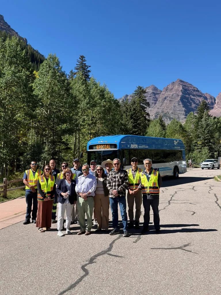
Eagle County Rockslides Block I-70 After Record Rainfall
Record rainfall triggered rockslides blocking I-70 near Parachute and New Castle. NWS extended a flood watch through Tuesday as saturated soils increased debris flow risks.
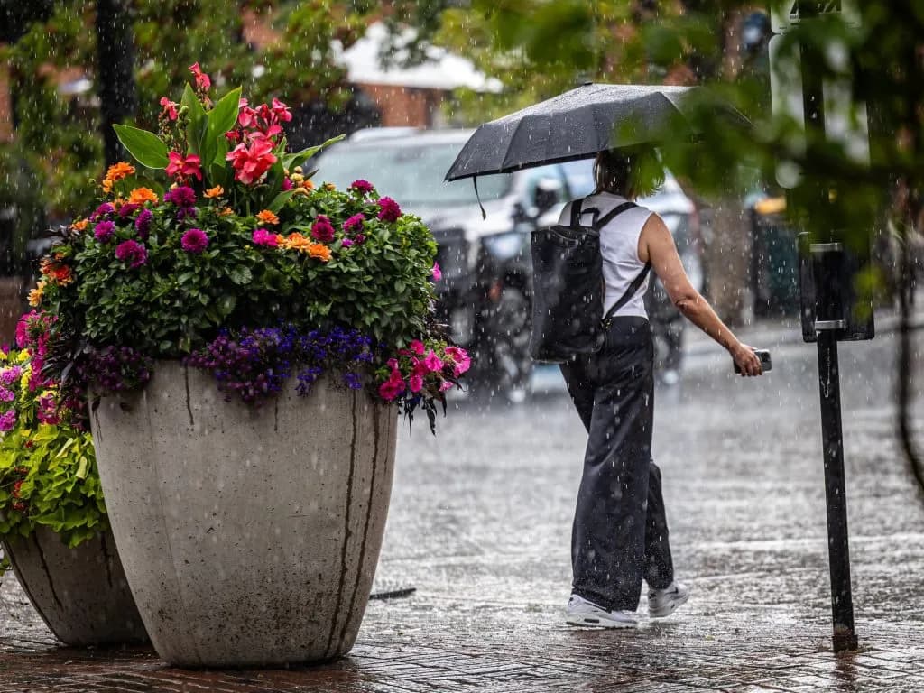
Aspen —0.6 to 0.9 inches of rain in a single day. That is the amount that turned parts of Eagle County into a mud pit and forced road closures along the I-70 corridor.
National Weather Service Meteorologist Brooke Scholtens reported in the Vail Daily that the weekend storms were strongest along Interstate 70, with Sunday’s downpour causing immediate physical damage. In Eagle County, rockslides blocked sections of Colorado River Road and Sweetwater Road. Crews cleared those roads by around 6 p.m. In Garfield County, mudslides on Sunday evening shut down westbound I-70 near Parachute and New Castle. Traffic didn’t flow again until Monday morning.
The National Weather Service’s Grand Junction office extended the flood watch through noon on Tuesday. The warning covers creeks, streams, slot canyons, slick rock areas, and recent burn scars. Scholtens noted that areas hit by multiple rounds of storms over the past few days are more susceptible to rapid runoff because the soil is already saturated.
"We’re seeing a downturn in precipitation starting (Tuesday), but the threat does remain along the higher terrain," Scholtens said.
The monsoonal moisture pattern is expected to continue through Tuesday. Forecasts from OpenSnow show widespread showers and thunderstorms across the Western Slope on Monday, with the heaviest rainfall falling west of the Continental Divide. Wednesday and Thursday should bring a partial return to dry conditions, though isolated showers may develop on Wednesday afternoon. By Friday, storms are expected to return due to a southwest monsoonal flow.
Scholtens emphasized that the forecast changes twice a day, meaning precipitation chances and amounts can shift significantly. "It’s really important for people, if they do plan on recreating, just to take a look at the forecast before doing so," she said.
The weather shift isn’t just about water; it’s about temperature. The storms are bringing cooler days to the High Country this week. Most ski towns along the northern and central mountains can expect highs in the 70s to low-80s, with lows dropping into the 40s through Friday.
For context, this is early September. The Vail Daily reported that Western Slope peaks could see snow. When you combine saturated soil, new rainfall, and the potential for freezing temperatures at altitude, the risk of debris flows increases. This isn’t a standard summer storm pattern. It’s a transitional mess that hits infrastructure and recreation zones simultaneously.
If you live in Garfield or Eagle County, the immediate cost is already visible: closed roads and cleared debris. For those planning a weekend trip to the high country, the logistical cost is time and safety margins. You are dealing with a forecast that flips twice daily.
The practical bottom line is simple: check the specific, updated NWS forecast for your exact elevation before you leave home. If you are recreating in slot canyons or near burn scars, the window for safety is narrowing as the week progresses. The rain stops Tuesday, but the ground stays wet.
Keep up with Aspen
The day's Western Slope news, one email each morning. Free.