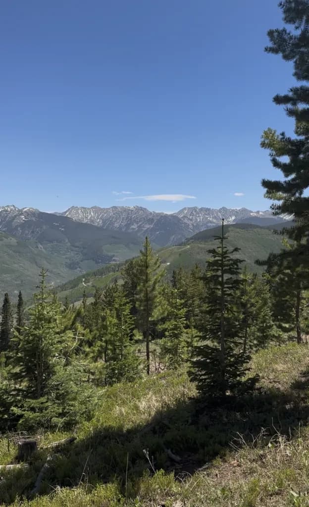
Minturn Hikers Calculate Time and Distance for Notch Mountain
Minturn residents evaluate the 10.9-mile trek to Notch Mountain, balancing a 45-minute drive and potential 8.4-mile approach walk against the reward of quiet, high-elevation views.
Aspen —What is the actual cost of time and logistics for a local to hike Notch Mountain, and does the 10.9-mile distance justify the effort?
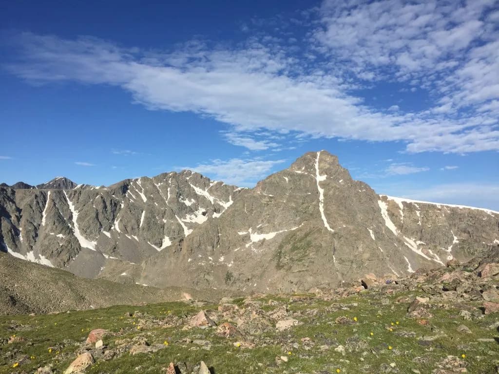
The answer lies in the numbers: 10.9 miles out and back, with an elevation gain of 2,900 feet. That is a moderate to advanced workout for anyone living in Minturn or Eagle County. It takes half to a full day, depending on your fitness level and whether you stop to photograph the cross-shaped snowfield on Mount of the Holy Cross.
Notch Mountain rises to 13,100 feet. It is about a 45-minute drive from Minturn, but the drive is only half the story. The real test starts at Tigiwon Road #707, located just south of town on U.S. Highway 24. You turn right before crossing the Eagle River bridge and follow the dirt road for 8.4 miles to the Half Moon Trailhead parking area.
Let’s do the math on access. The road is closed to vehicles from May 1 to June 20 for resource protection. If you show up in late May with your car, you are walking an extra 8.4 miles one way. That adds significant time to your half-day or full-day estimate. For locals who know the terrain, this is manageable. For visitors expecting a paved path to the summit, it is a shock.
The trail itself is singletrack. You begin on the Fall Creek Trail for about 2½ miles, hiking through spruce and fir stands. The boulder fields and wildflower-filled meadows in summer are pleasant, but the real work happens after you hit the junction with the Notch Mountain Trail. You take the right fork and ascend steadily above the tree line.
At higher elevations, you might see feathery ptarmigan, peeping marmots, or nonchalant mountain goats. These are not guaranteed sightings, but they are common enough to notice. The trail ends at the Notch Mountain Shelter, an impressive stone building constructed in 1933. It frames views of the nearby peak and offers refuge from sudden lightning storms. Overnight camping is not allowed inside, but you can camp at the base or above 11,000 feet if you stay within 100 feet of water sources.
The shelter is not the summit. To officially “bag” this peak, you continue on, staying on the rocks to protect sensitive vegetation. This is part of the Holy Cross Wilderness rules: no fires above 11,000 feet.
The Vail Daily notes that while many hikers flock to Colorado’s 14ers, fewer seek out its 13,000-foot peaks. Notch Mountain offers tremendous views with a fraction of the traffic. It is best hiked from mid-to-late summer to fall. You need to be physically fit, carry water and food, and get out early to avoid Colorado’s infamous summer thunderstorms.
On paper, this is a straightforward hike. In practice, it requires preparation. You need sturdy boots for the rock scramble to the summit. You need layers for the altitude change. And you need to respect the Leave No Trace principles that have been in place since the shelter was built.
For locals, the cost is time and gas. For visitors, it is a 45-minute drive plus an 8.4-mile walk if the road is closed. The payoff is a quiet, challenging ascent with views of one of Colorado’s most iconic peaks. It is not easy. But it is accessible. And for those who want to escape the 14er crowds without leaving the county, it is worth the effort.
Keep up with Aspen
The day's Western Slope news, one email each morning. Free.