Hiking · Gunnison, CO
738.2B (Brush Creek 4wd spur)
Before you go
Live · nearest station Gunnison, 3 miGood window today.
Mostly Clear
Feels like 53°
Wind
0 mph
Distance
2.8mi round trip
Elevation gain
479ft
High point
8,471ft
Season
Jan - Dec
About
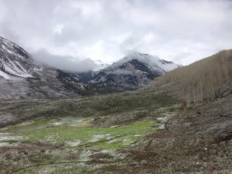
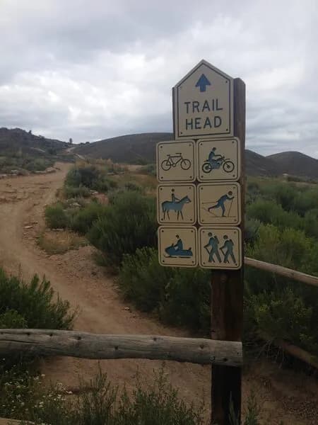
738.2B, known as the Brush Creek 4WD spur, is an easy hiking trail located near Gunnison on Colorado's Western Slope. The route follows the east branch of Brush Creek through the East Brush Creek Drainage in the Gunnison National Forest. The trailhead sits at an elevation of 8,389 feet and offers parking for visitors. The path connects to other local routes, including Brush Creek Trail #400 and the 545 Block and Tackle trail. Hikers typically complete the 2.8-mile point-to-point route in about one hour. The terrain is described as flat to moderately steep, with the road ending partway up the drainage. Trail conditions vary by season, featuring potential snow cover in winter and dry ground in summer. The area remains accessible year-round from January through December. Facilities at the trailhead include bathrooms, though there is no direct water source available on-site. The location falls within the USFS Gunnison Ranger District boundaries.
Trail profile
Gain
479 ft
Avg grade
3%
Steepest
6%
High point
8,471 ft
Good to know
Parking at the trailhead
Waypoints
Latest trail reportgood
Trail is in good condition. No significant obstacles or hazards reported.
Reported Mar 2, 2025Verified
What people say
Reviews
No reviews yet
Been here? Help the next person out.
Within 30 miles