Mountain Biking · Gunnison, CO
Aberdeen Loop
Before you go
Live · nearest station Gunnison, 0 miStorms build later today. Plan an early finish.
Thunderstorms
Feels like 58°
Storm chance
57% tonight
Wind
5 mph N
UV index
0 low
Sun window
6:56 am to 7:02 pm
Distance
—
Elevation gain
—
High point
7,705ft
Season
Apr - Octpeak now
About
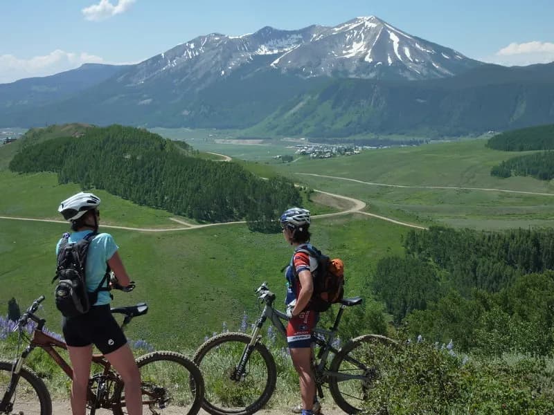
The Aberdeen Loop is a technical singletrack mountain biking route located in the Hartman Rocks area of Gunnison, Colorado. The trail sits southeast of the main Hartman Rocks parking area and is accessed via Road 38. Riders must drive out to the Bambi Trailhead, ride up Bambi’s, and connect to Road 3575 before reaching the loop start near Powerline Road. The full loop measures approximately seven miles and features no bailout points once entered. The route is divided into two distinct sections: Aberdeen Loop West, which covers 3.4 miles of mostly uphill terrain, and Aberdeen Loop East, which is approximately four miles of fast downhill singletrack. The trail passes the historic Aberdeen Quarry and offers views of the Gunnison Basin and San Juan Mountains. Access requires crossing a gate or cattle guard near South Beaver Creek. The trail is closed from March 15 to May 15 for Sage Grouse habitat protection. Parking is available at the Bambi Trailhead, and dogs are permitted on the trail.
Trail profile
Gain
—
Avg grade
—
Steepest
—
High point
7,705 ft
Good to know
Parking at the trailhead
Dogs allowed on leash
Waypoints
Latest trail reportgood
Trail is in good condition. Traction is good with minimal obstacles.
Reported Mar 2, 2025Verified
What people say
Reviews
No reviews yet
Been here? Help the next person out.
Within 30 miles