Hiking · Telluride, CO
Ajax Peak
Before you go
Live · nearest station Telluride, 3 miStorms are likely above treeline tonight. Start early and be off the ridge by midday.
Chance of Rain
Feels like 45°
Trailhead temp
35° est. at 12,260 ft
Storm chance
58% tonight
Wind
5 mph ESE
Distance
10mi round trip
Elevation gain
3,789ft
High point
12,841ft
Season
Jan - Dec
About
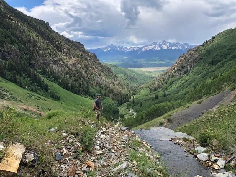
Ajax Peak is a difficult 10-mile hike in Telluride, Colorado, reaching an elevation of 12,260 feet. The trail typically takes about seven hours to complete and offers steep inclines with significant elevation gain. The route begins at the base of Bridal Veil Falls, following the Black Bear Road or a trail to the falls before ascending via singletrack switchbacks. Hikers traverse rocky terrain and Class 3 sections to reach the summit. The primary reward is the view of the Telluride valley and box canyon, which is noted as particularly striking in the fall when aspens turn golden. Parking is available at the trailhead, though 4WD is recommended for accessing the rougher sections of Black Bear Road if starting further up the road. The trail is accessible year-round, though snow can affect conditions near the summit.
Trail profile
Gain
3,789 ft
Avg grade
7%
Steepest
20%
High point
12,841 ft
Good to know
Parking at the trailhead
Waypoints
Latest trail reportgood
Trail is in good condition. No significant obstacles or hazards reported.
Reported Mar 2, 2025Verified
What people say
Reviews
No reviews yet
Been here? Help the next person out.
Within 30 miles