Hiking · Telluride, CO
Ajax Peak + Telluride Peak
Before you go
Live · nearest station Telluride, 0 miStorms build later today. Plan an early finish.
Thunderstorms
Feels like 46°
Storm chance
58% tonight
Wind
5 mph E
Distance
11.5mi round trip
Elevation gain
2,893ft
High point
11,686ft
Season
Jan - Dec
About
The Ajax Peak and Telluride Peak trail is a strenuous, 11.5-mile loop in Telluride, Colorado, with approximately 4,097 feet of elevation gain and an estimated duration of eight hours. The route begins at the base of Bridal Veil Falls, where hikers can choose to walk up the paved road or take a shorter trail to the falls. From there, the path follows Black Bear Pass Road, which features rough switchbacks and requires four-wheel-drive vehicles for comfortable access to the upper trailhead. After leaving the road, singletrack switchbacks lead up steep alpine meadows to Ajax Peak (12,785 feet). The trail continues along the ridgeline over Class 3 rocky sections to reach Telluride Peak (13,509 feet). The summit offers 360-degree views of the Telluride box canyon, Imogene Pass, and distant 14ers. Fall hiking is notable for golden aspen foliage. Parking is available at the trailhead, though space on Black Bear Road can be limited.
Trail profile
Gain
2,893 ft
Avg grade
5%
Steepest
10%
High point
11,686 ft
Good to know
Parking at the trailhead
Waypoints
Latest trail reportgood
Trail is in good condition. No significant obstacles or hazards reported.
Reported Mar 2, 2025Verified
What people say
Reviews
No reviews yet
Been here? Help the next person out.
Within 30 miles
Nearby spots
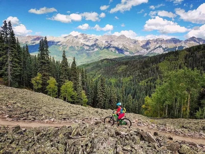
Yeti Tribe Gathering: Main Ride, Telluride Gondola
Galloping Goose #499