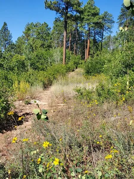
Fall Hiking · Durango, CO
Animas Mountain East Trailhead
Before you go
Live · nearest station Durango, 2 miStorms build later today. Plan an early finish.
Thunderstorms
Feels like 59°
Storm chance
57% tonight
Wind
5 mph NE
Animas River at Durango is running 825 cfs and rising, water 55°.
Distance
—
Elevation gain
—
High point
6,699ft
Season
Sep - Novin season
About
Animas Mountain East Trailhead serves as the access point for a popular 5.4-mile loop in the San Juan Mountains, framing Durango on its north side. The route offers moderate difficulty with approximately 1,700 feet of elevation gain, leading to a high point of 8,160 feet. Hikers gain panoramic views of the Animas Valley to the north, the Hermosa Valley to the south, and distant landmarks like Mesa Verde and the Weminuche Wilderness. The trail is well-marked and follows a counter-clockwise lollipop pattern, starting with a doubletrack climb before descending back to the parking area. While the database lists the typical duration as two hours, multiple sources indicate the full loop takes about three hours. The trail is accessible year-round, though winter hikers should prepare for ice and potential traction needs. Parking is available at the trailhead, and dogs are permitted but must remain leashed. The upper loop experiences seasonal closures for wildlife from December 1 to April 15.
Trail profile
Gain
—
Avg grade
—
Steepest
—
High point
6,699 ft
Good to know
Parking at the trailhead
Restrooms available
Dogs allowed on leash
Waypoints
No waypoints mapped for this trail yet.
What people say
Reviews
No reviews yet
Been here? Help the next person out.
Within 30 miles