Fall Hiking · Basalt, CO
Arbaney Kittle Trailhead
Before you go
Live · nearest station Aspen, 15 miGood window today. Daylight to 7:03 pm.
Thunderstorms
Feels like 56°
Trailhead temp
60° est. at 6,855 ft
Storm chance
45% tonight
Wind
5 mph NNW
UV index
0.1 low
Sun window
6:56 am to 7:03 pm
Distance
—
Elevation gain
—
High point
6,855ft
Season
Sep - Novin season
About
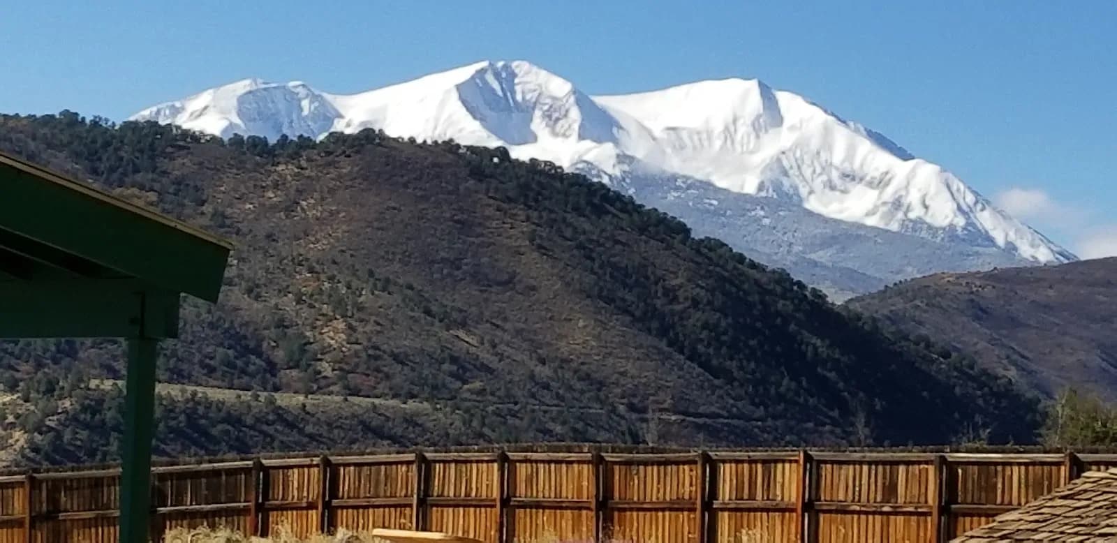
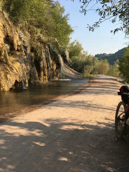
The Arbaney Kittle Trailhead in Basalt provides access to a historic ranching road turned pack trail that climbs approximately 2,000 feet to a ridgeline separating the Roaring Fork and Frying Pan river valleys. The trail is classified as moderate to difficult, with a total length of 17.5 miles for the full out-and-back route. A popular segment is the 1.75-mile climb to Fryingpan Overlook at 8,290 feet, which takes about 2 hours one way. The trail gains elevation from a base of 6,855 feet to over 10,000 feet near Sloane Peak. Terrain includes mixed pine, spruce, and aspen forests, with steep sections near the summit and ridge views of Mount Sopris and Ruedi Reservoir. Fall hiking is viable from September through November, offering aspen foliage and variable weather conditions. Parking is available at the trailhead off Bishop Lane, accessed via Highway 82. Restrooms are present. Dogs are permitted but must be under voice and sight control; owners must carry waste bags. The trail is managed by Pitkin County Open Space and Trails and the USFS Aspen-Sopris Ranger District.
Trail profile
Gain
—
Avg grade
—
Steepest
—
High point
6,855 ft
Good to know
Parking at the trailhead
Restrooms available
Dogs allowed on leash
Waypoints
No waypoints mapped for this trail yet.
What people say
Reviews
No reviews yet
Been here? Help the next person out.
Within 30 miles