Mountain Biking · Rifle, CO
A's and W's Trail
Before you go
Live · nearest station Glenwood Springs, 24 miGood window today. Daylight to 6:25 pm.
Thunderstorms
Feels like 60°
Storm chance
22% tonight
Wind
5 mph W
UV index
0 low
Sun window
7:25 am to 6:25 pm
Distance
0.9mi round trip
Elevation gain
115ft
High point
5,680ft
Season
Apr - Octin season
About
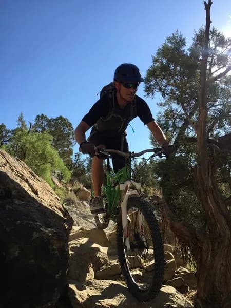
A's and W's Trail is a 0.9-mile moderate mountain biking route in Rifle, Colorado, located at an elevation of 5,680 feet. The trail is accessible from April through October and typically takes about 13 minutes to complete. Riders enter the trail from a small pull-off on the north side of the paved road, shortly after the pavement ends. The route involves dropping into a dry creek bed and ascending a short 4x4 road before connecting to singletrack. The trail features curves that allow riders to maintain speed, with a distinct technical section where the path drops abruptly into the creek bed and rises back out. Helper rocks assist with this transition, though flash floods can alter the bank angle. The singletrack is easy to follow and crosses one wide road used for target shooting before ending at another 4x4 road, where riders can connect to Lower Sidewinder. Parking is available at the trailhead or at a well-maintained BLM lot 2.0 miles further down the road near the Y intersection. The area is active for recreational target shooting, particularly on weekends and in the evenings. Riders should be aware of unrestricted shooting activity and potential debris, including target fragments and ammunition casings, on the trail surface. The trail is pet-friendly.
Trail profile
Gain
115 ft
Avg grade
2%
Steepest
3%
High point
5,680 ft
Good to know
Parking at the trailhead
Dogs allowed on leash
Waypoints
Latest trail reportgood
Trail is in good condition. Traction is good with minimal obstacles.
Reported Mar 2, 2025Verified
What people say
Reviews
No reviews yet
Been here? Help the next person out.
Within 30 miles